Difficulty: BEGINNER
Time: ~1 HOUR
Distance: 2.2 MILES
Elevation Gain: 200 FEET
Foot Traffic: MODERATE
Challenges: Shadeless
Sights: Pu'u Pua'i Cinder Cone, Mauna Loa/Kea, Halema'uma'u Crater, Kilauea Caldera
What to Bring: Sunscreen
Located in Volcanoes National Park, these short trails give you a glimpse of the powerful effects of a volcano, both past and present. The Devastation Trail takes you through the remnants of the massive 1959 eruption, where falling cinder blanketed the landscape and formed the Pu'u Pua'i Cinder Cone. The Byron Ledge Trail takes you down to a forested trail along the rim of the Halema'uma'u Crater. From here you can get a great vantage point of the Crater and the Kilauea Caldera, both still changing from the ongoing volcanic activity beneath the surface. These hikes, coupled with the many other spectacles in this park, are well worth the price of admission.
One (two) last baby hike in VNP before making the trek back to Oahu. While I wouldn't call these hikes a "must do" when visiting VNP, if you feel like a short stroll that shows you some of the unique ways a volcano can change the natural landscape, the Byron Ledge and Devastation trail are definitely worth the visit.
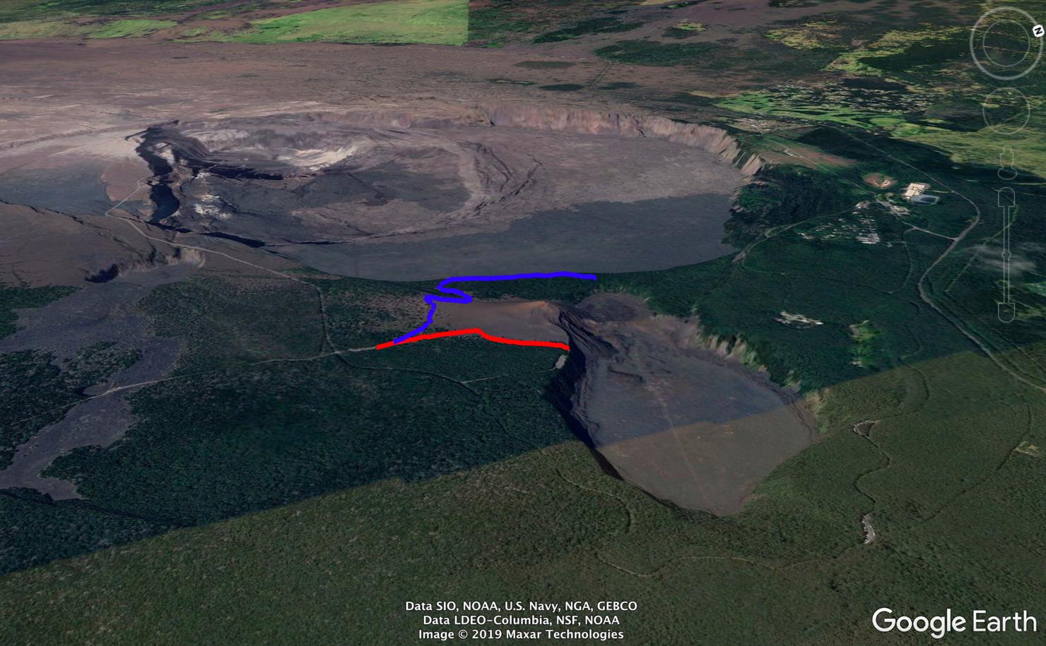
The Devastation Trail (Red) is a 1 mile round trip on a paved trail that terminates at the Pu'u Pua'i Overlook, which looks out over the Kilauea Iki Crater. The 1.2 Mile Byron Ledge begins from the same spot and leads you down to the rim of Halema'uma'u Crater traveling along the rim for a short ways.
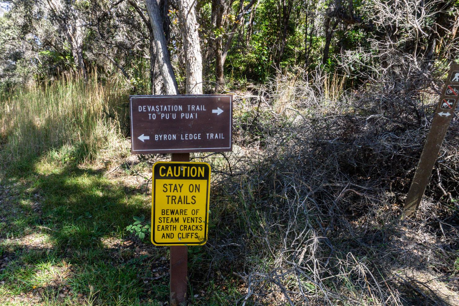
These trails have their own parking lot and, since it looks like this trail sees fewer people, getting a spot shouldn't be too much trouble. Hmm which trail should we do first?
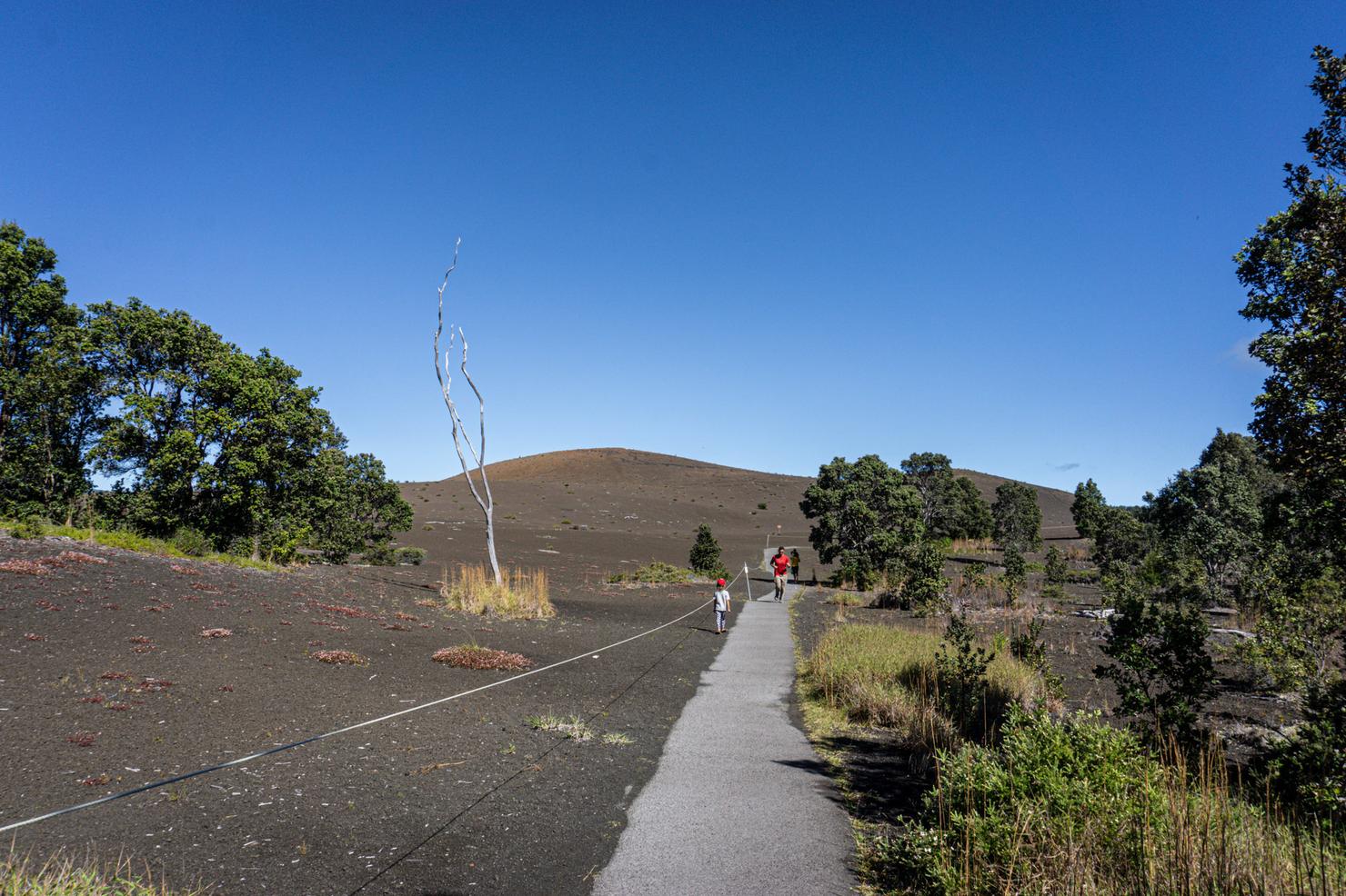
Let's see some devastation! Those humps in the background are part of the Pu'u Pua'i Cinder cone, created from the massive eruption of 1959.
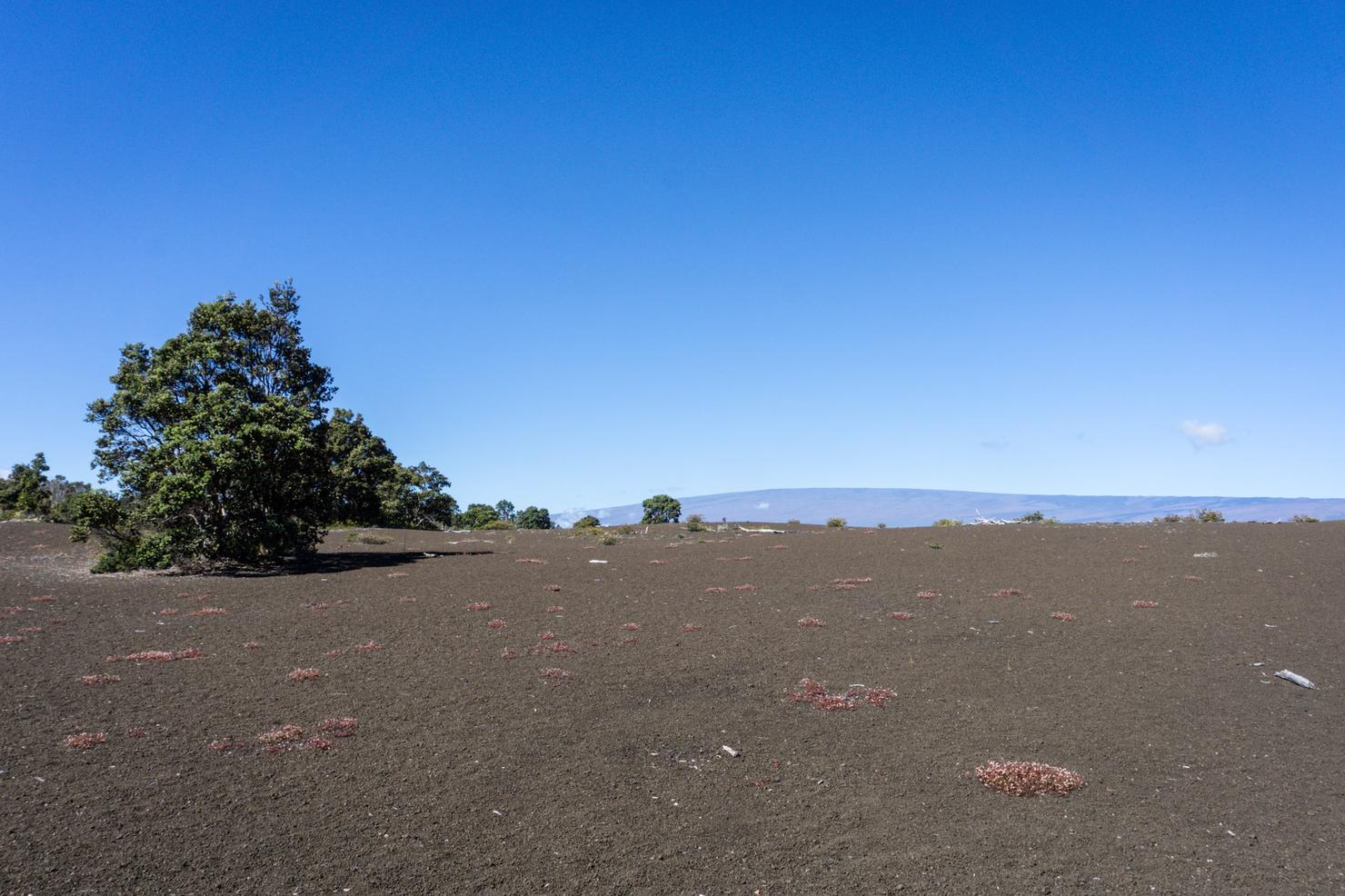
The lava shot up in the air, over 1900 feet, and the particles (aka cinders) it created solidified and blanketed the landscape. It's amazing to see how some of the flora have started to try and reclaim this area, 60 years later.
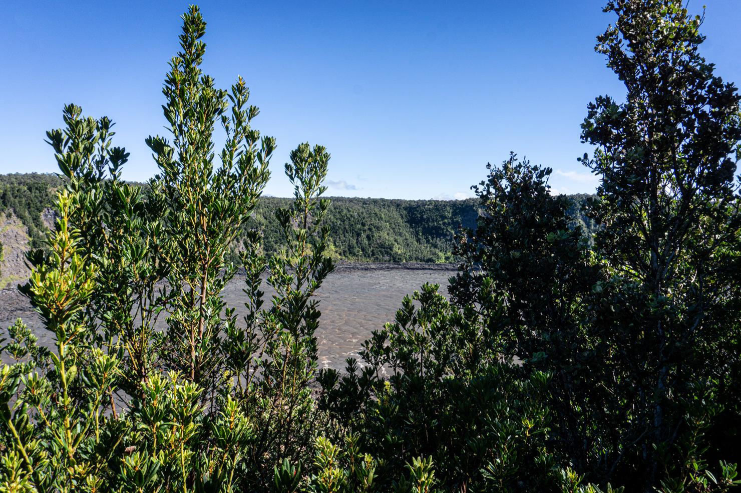
The trail ends at the Pu'u Pua'i overlook parking lot which (obviously), is home to the Pu'u Pua'i overlook. This lookout overlooks Kilauea Iki, another crater involved in the 1959 eruption. That crater offers a nice, slightly more strenuous loop hike, that I did just before this one.
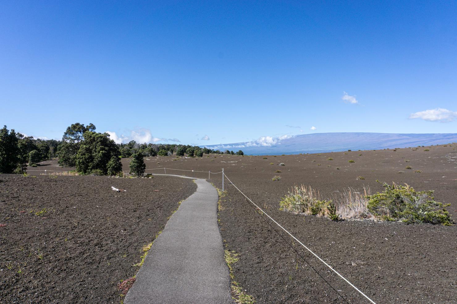
Now it's back to the start for hike number 2!
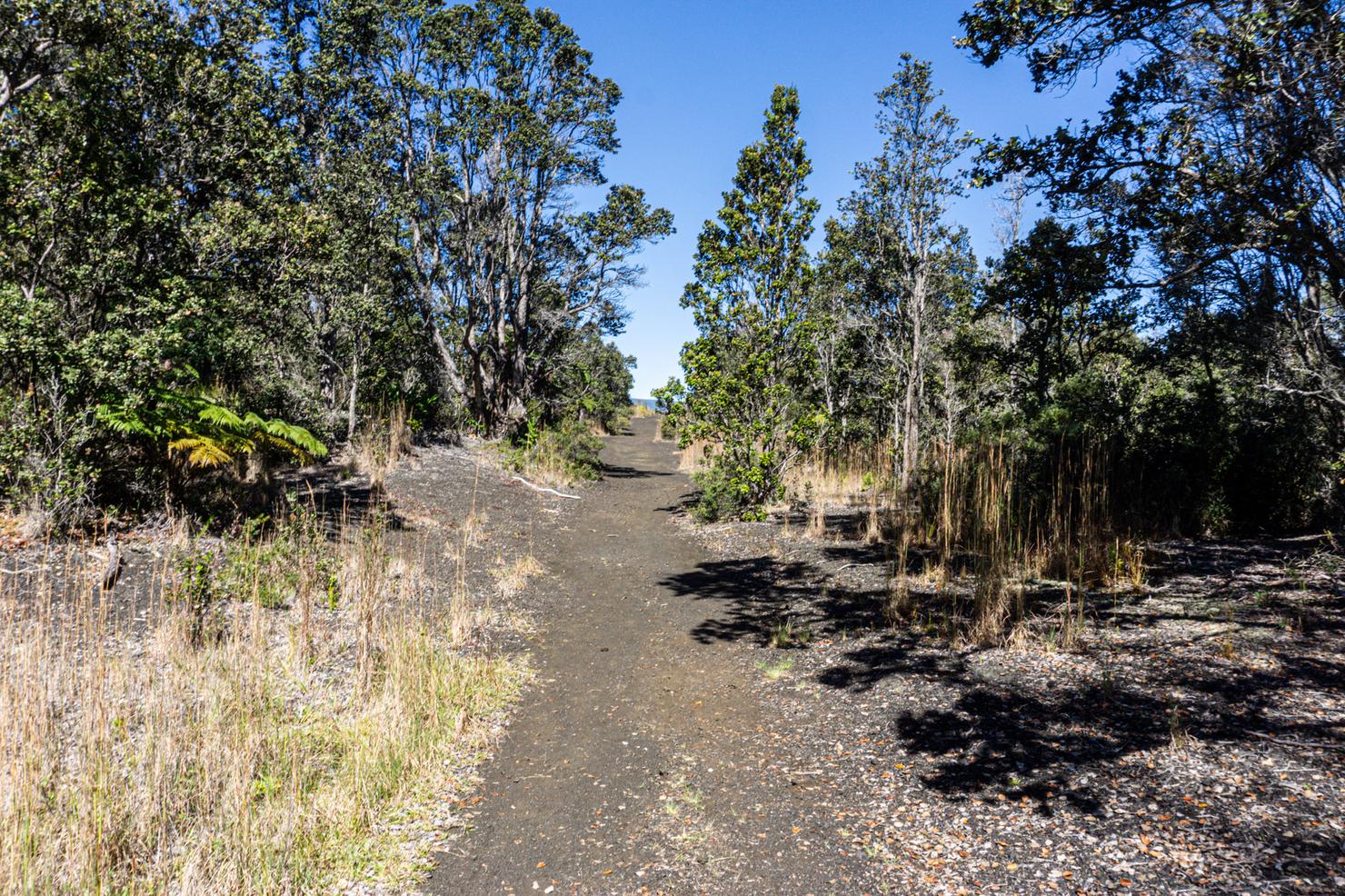
The fact that Byron Ledge is an actual trail already makes it feel more like a hike.
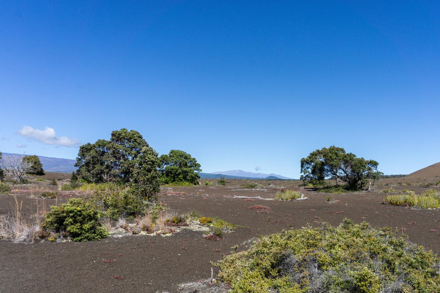
It starts out with a similar landscape to the Devastation Trail, with some flora sporadically growing from the cinder.
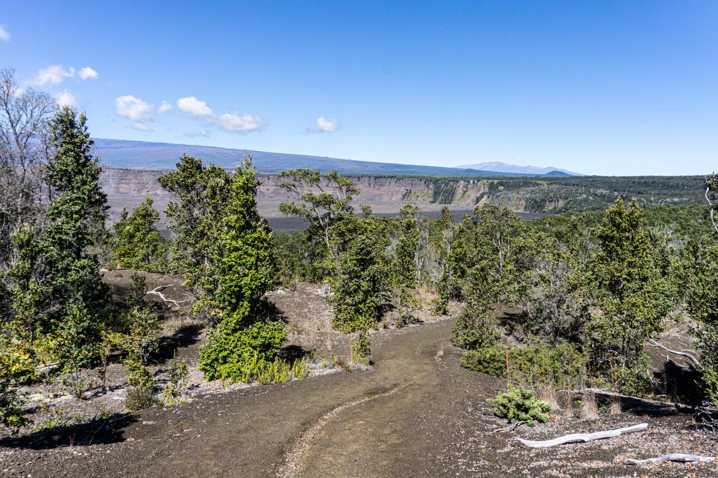
But soon the landscape changes as you descend towards the rim. This picture doesn't do it justice, but I absolutely loved this vantage point. In the front, we can see the outline of the Halema'uma'u Crater. Behind that, the long slope of Mauna Loa ("Long Mountain"), often considered the largest volcano on Earth. And behind that, the peak of Mauna Kea, the highest peak in Hawaii, and the tallest sea mountain in the world. How crazy is it you can see all this from one spot?!
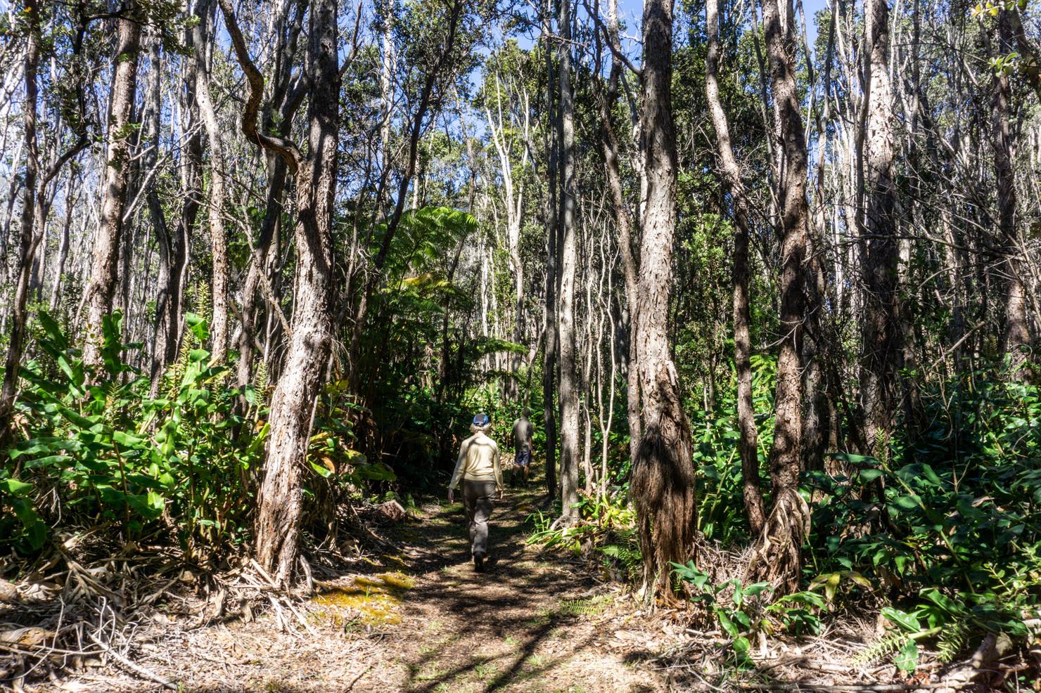
Once you get down to the rim, you will enter the trees. I noticed how soft the ground was underneath my shoes, so I decided to take my shoes off and walk barefoot. After 2 days of backpacking, my calloused and blistered feet appreciated this change of surface. It was like a natural massage.
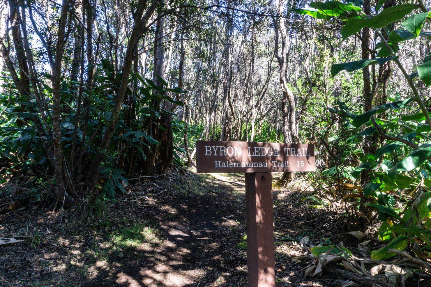
The trail doesn't really have an obvious turnaround point. I decided to continue along the trail until it connected to the Kilauea Iki trail before making my way back. This trail could potentially lead you all the way back to the visitor's center. But now, many sections are closed due to recent damage from the volcano.
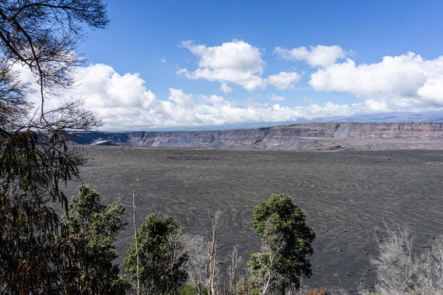
But before I finished my adventure, I snuck through the trees to get a clean glimpse of the crater and the Kilauea Caldera. While it is currently calm here, it is expected that the lava, which bubbles beneath, will someday return to create that impressive lava lake that used to exist within the caldera. 3 years after my first visit, this park looks very different, but equally impressive. I wonder what it will look like in another 3 years?
