Difficulty: ADVANCED
Time: 7+ HOURS
Distance: 12 MILES
Elevation Gain: 2400 FEET
Foot Traffic: LOW
Challenges: Overgrown, Muddy, Some Narrow Ridges
Sights: Honolulu, Windward Side
What to Bring: Water (>2L), Sunscreen, Snack/Lunch, Long Sleeves/Pants
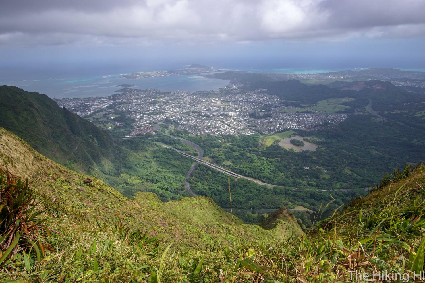
A difficult ridge hike near Honolulu, this ridge takes you up one of the Ko'olau finger ridges to the Ko'olau Summit Trail. You will be challenged with brush, mud, narrow ridges, and even have to scramble up a volcanic cone as you make your way to the summit. Once you reach the top, you will get an awesome perspective of the Windward Side and KST, looking down on endless beauty.
In his Hiker's Guide to Oahu, Stuart Ball called the Bowman Trail "the most difficult of the ungraded ridge trails in the Ko'olau Range." Despite that alluring description, the trail had fallen off my radar. It wasn't until I ran into a fellow solo hiker during my ascent up Lanihuli, that I was reminded about this trail. He told me it was his favorite trail on Oahu. That's all I needed to hear to motivate me to tackle this ridge.
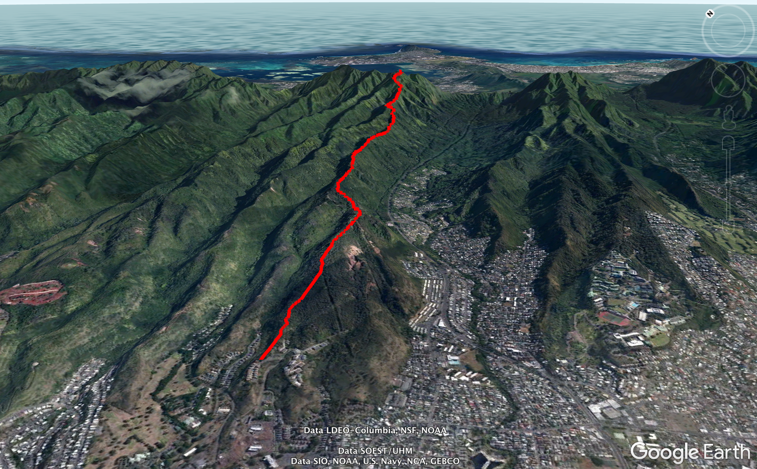
The hike has a few potential starting points. One near Kalihi Elementary and the other at the back of Fort Shafter. After the trails link up, it's a long ascent to the summit.
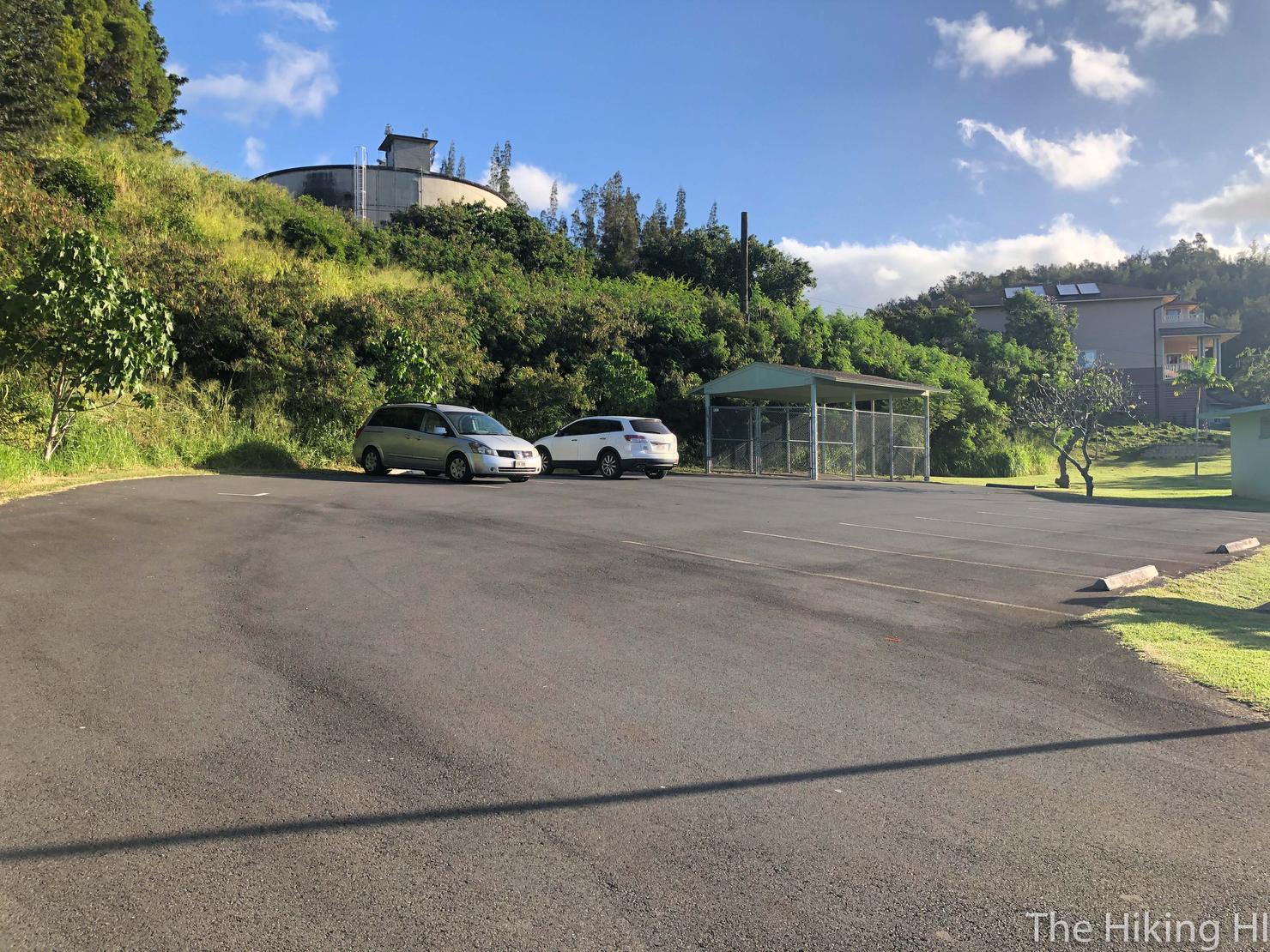
I chose the Fort Shafter route for the hike (which does require you to have a way to get on base). It's pretty easy to find, just make your way towards Radar Hill Road. You should be able to find the lot above on Austin Road where you can park your car
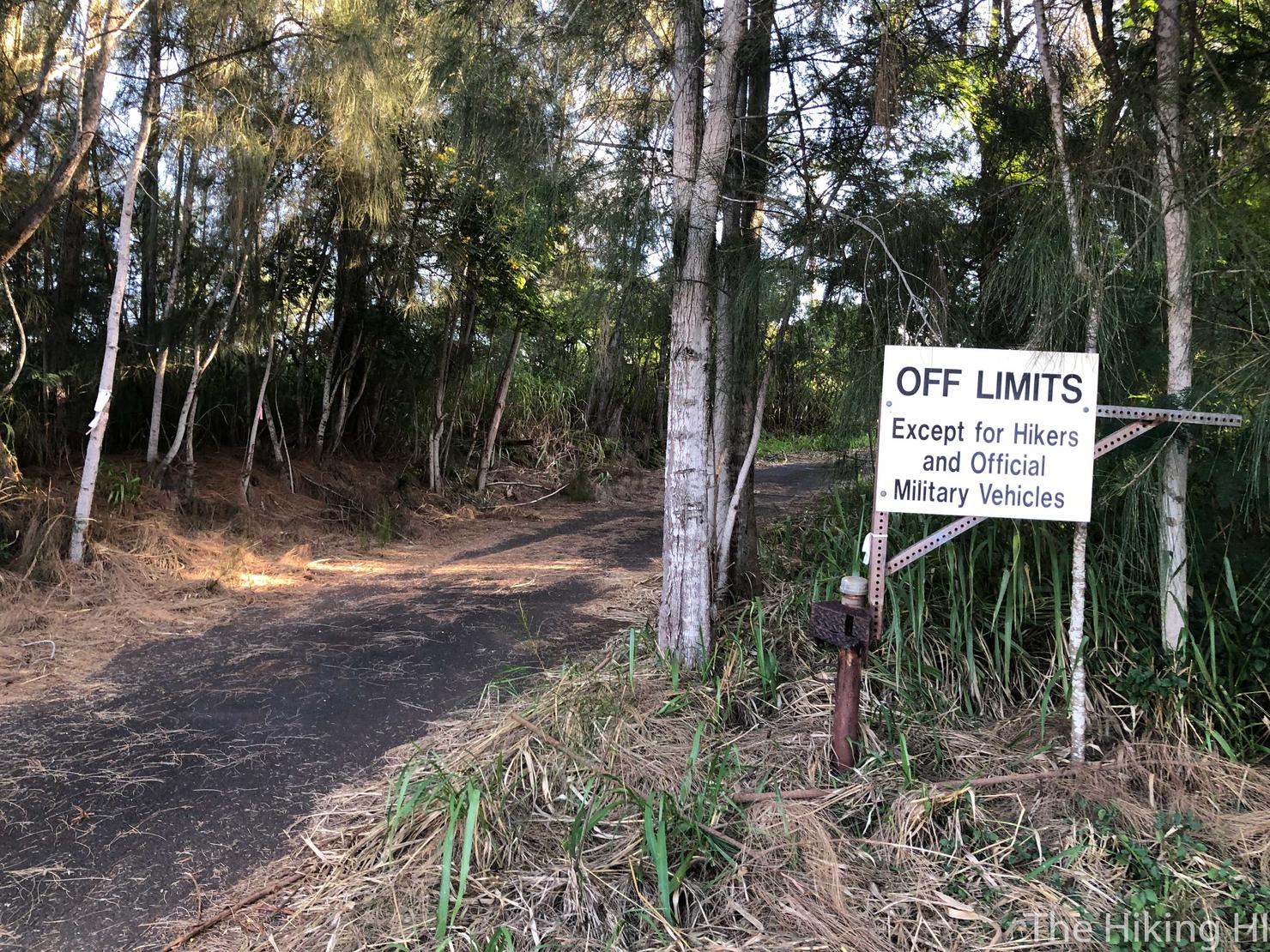
You will then walk to the beginning of Radar Hill Road, which is actually the trailhead. Let's hike!
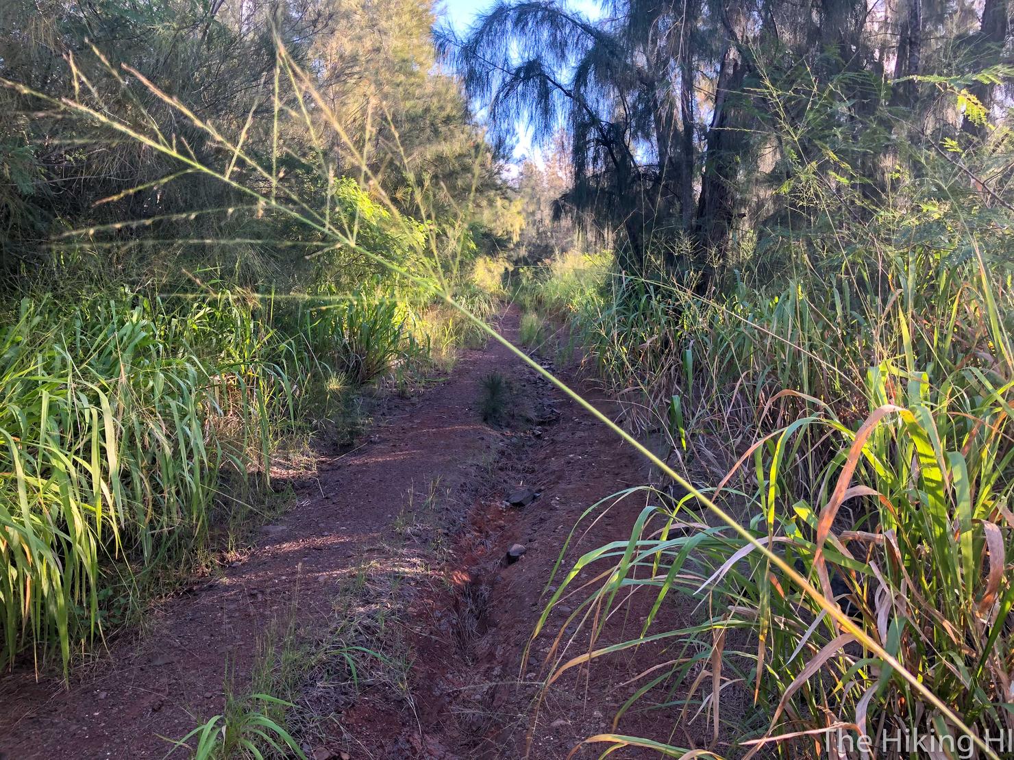
The first 45ish minutes of the hike are along Radar Hill Road with a slow gradual incline.
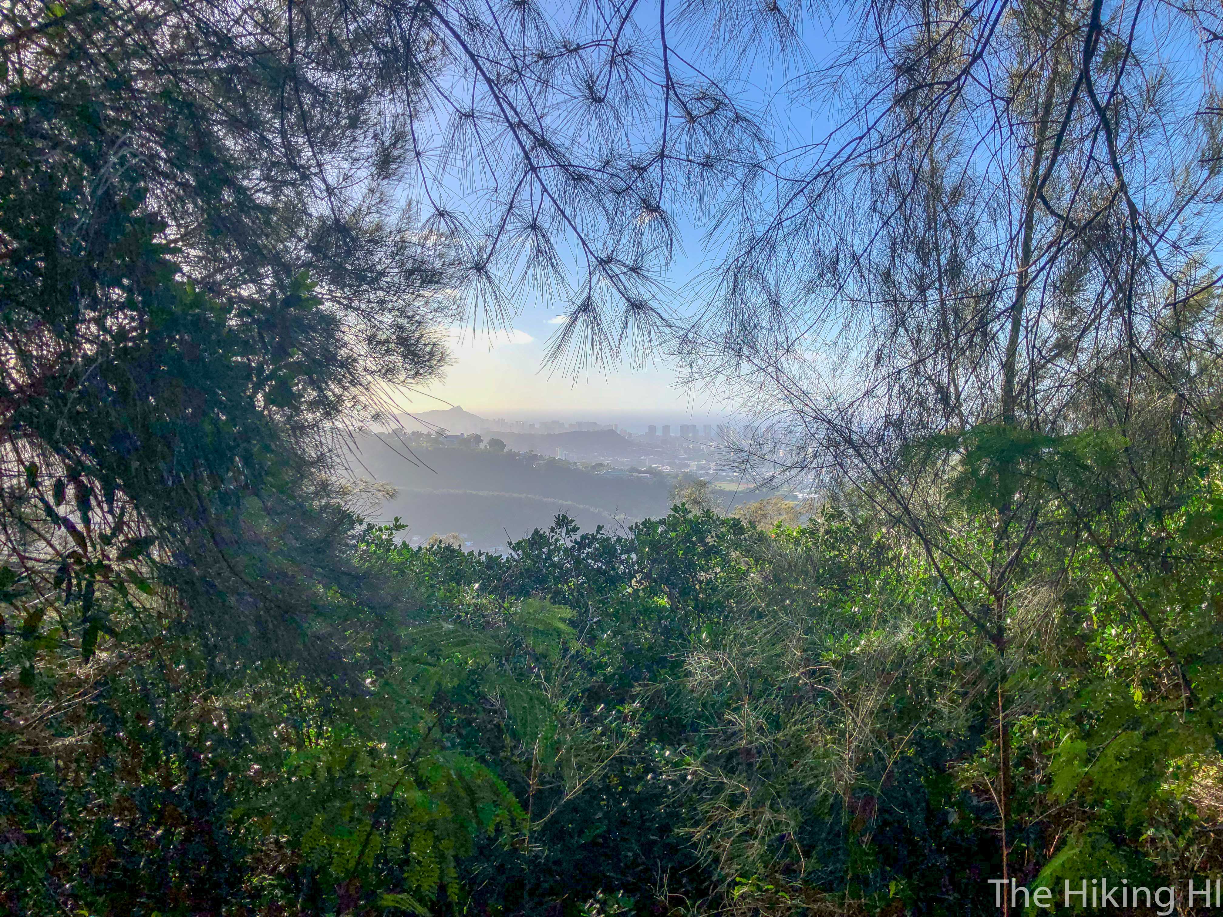
You may get a periodic break in the trees to see Honolulu.
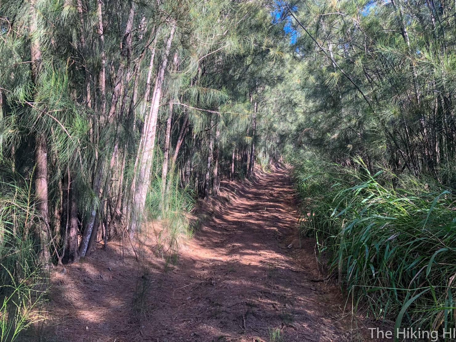
But overall it is uneventful.
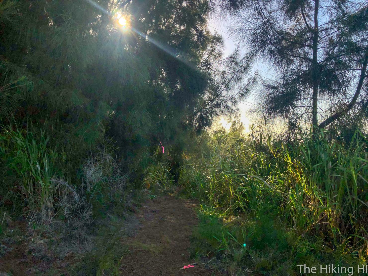
About 30 minutes into the hike, you will see a split in the path, with pink ribbons going two directions. Take the left path that goes slightly downhill. If my instincts are correct, the right path (pictured above) is where you would intersect had you started the hike at Kalihi Elementary.
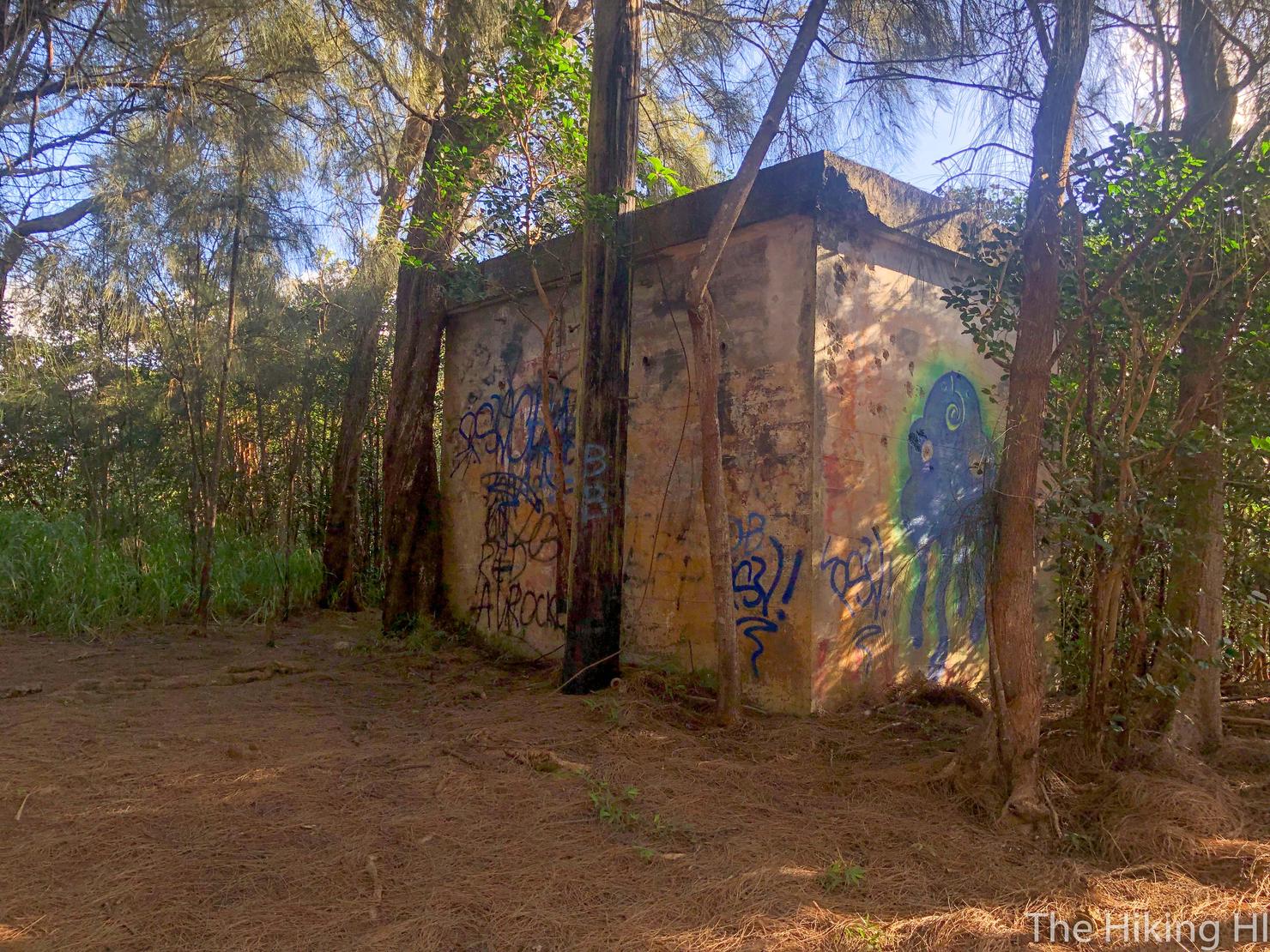
One of the landmarks you will come across. This indicates the hike is about to change.
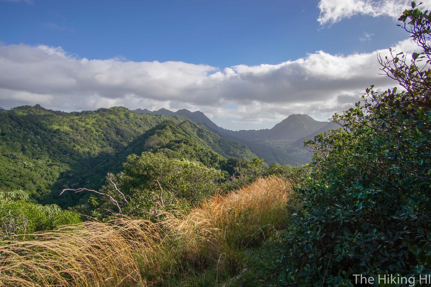
Because it's ridge hiking time! This is when the views of Bowman really start. This image shows what we have left to go. That dip in the ridge all the way in the distance is the Kalihi Saddle. To the right is Lanihuli, the peak I summited a few weeks ago. To the left of the saddle is Pu'u Kahauauli, the official peak of the Bowman Trail.
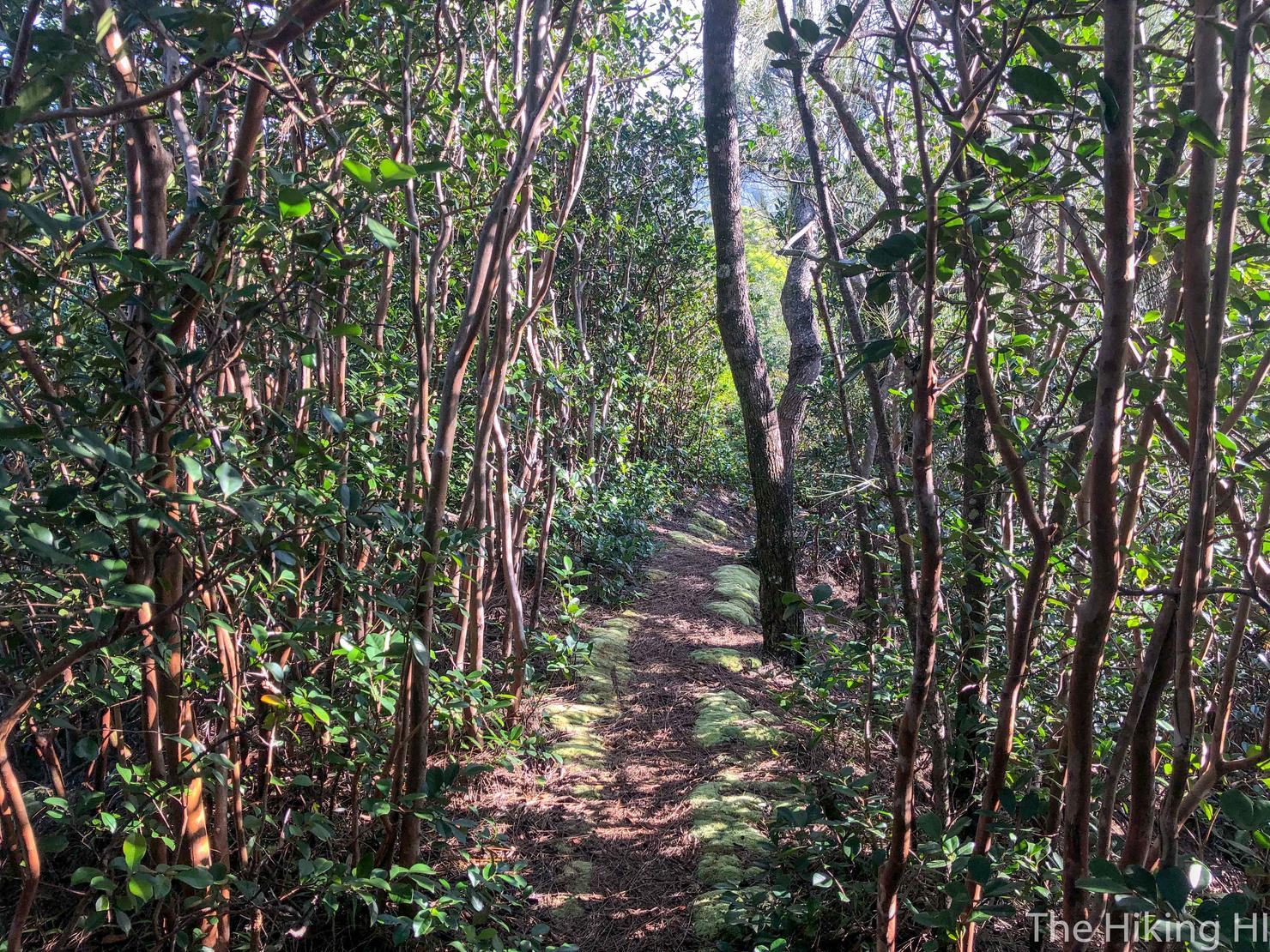
So let's get to it! It's not all fun and views on the ascent. You will get some time in the trees...
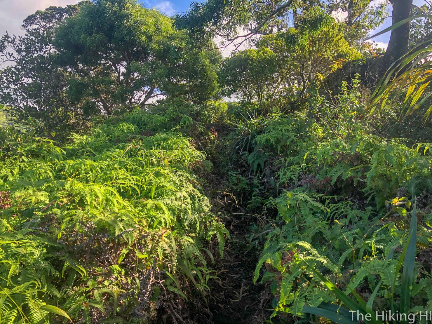
And a lot of time in the brush. I definitely recommend pants for this hike.

But you will consistently get breaks in the trees giving you awesome views of the Ko'olaus. Progress is being made!
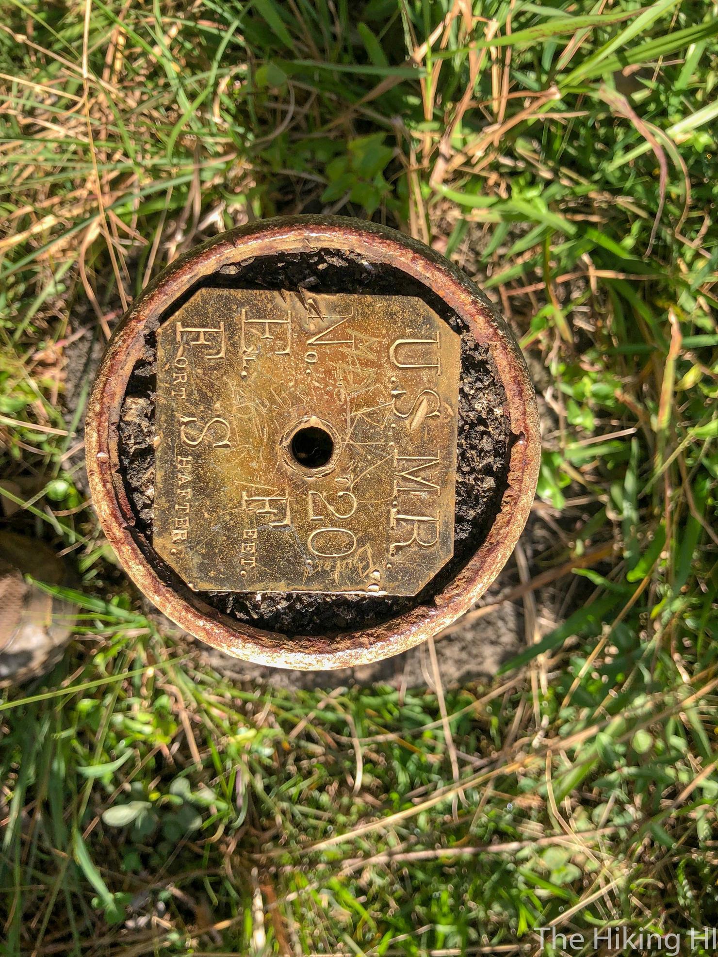
Another landmark!
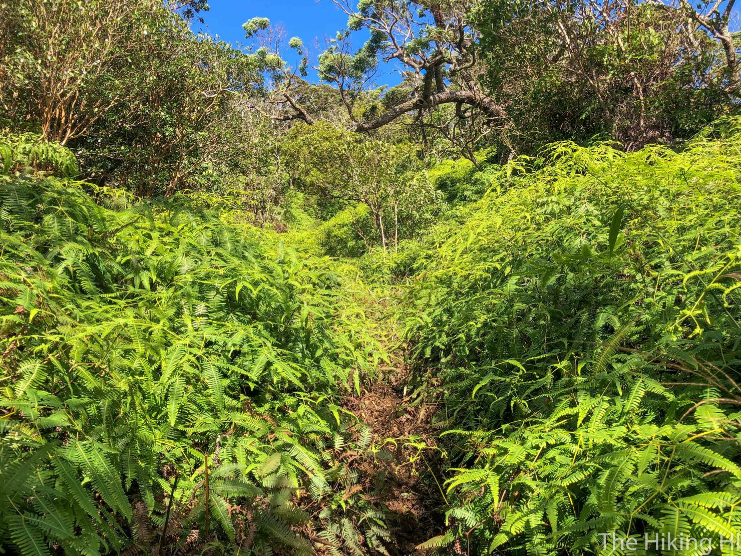
I already mentioned this hike is overgrown, but I'll mention it again. These plants suck! I had tons of scratches over my body by the end of the hike. Did I mention it's muddy too?
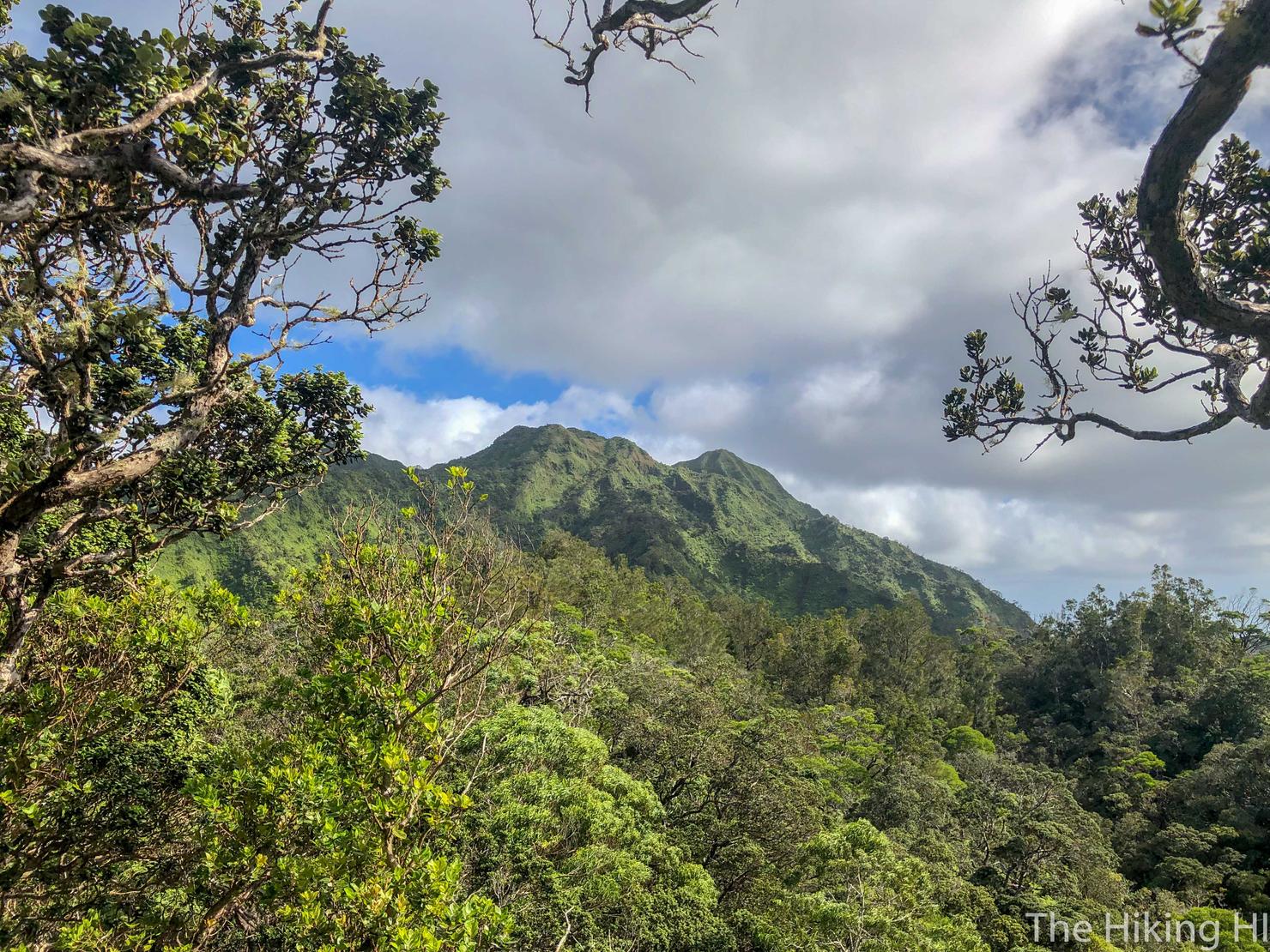
Good thing we are getting close... kind of. It may be hard to tell from the picture, but there are a few false peaks on this hike.
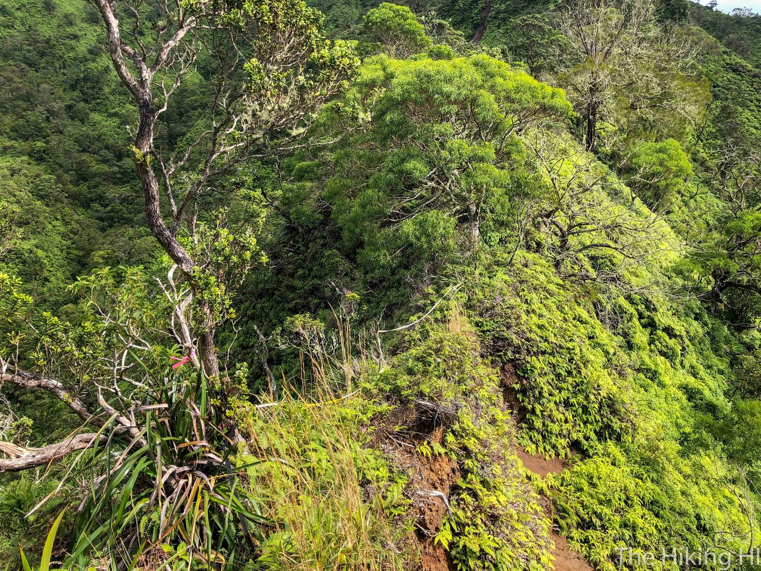
The trail gets skinny the farther along you get. This section was fairly eroded, with a rope to help guide you.

As you near the summit, there is a point where you will need to make a sharp left to continue upwards. It should be fairly obvious, as the area is littered with ribbons. I did manage to miss it however...
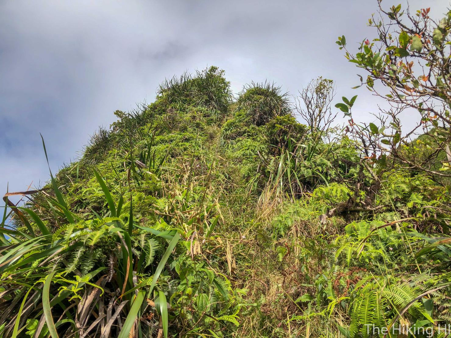
This section is the beginning of the ascent up the Kamanaiki Cone, a volcanic cone that marks the last volcanic activity on Oahu. Pretty cool huh? Also a bit challenging. This section has a steep, grassy ascent. Luckily, there are ropes to assist you.
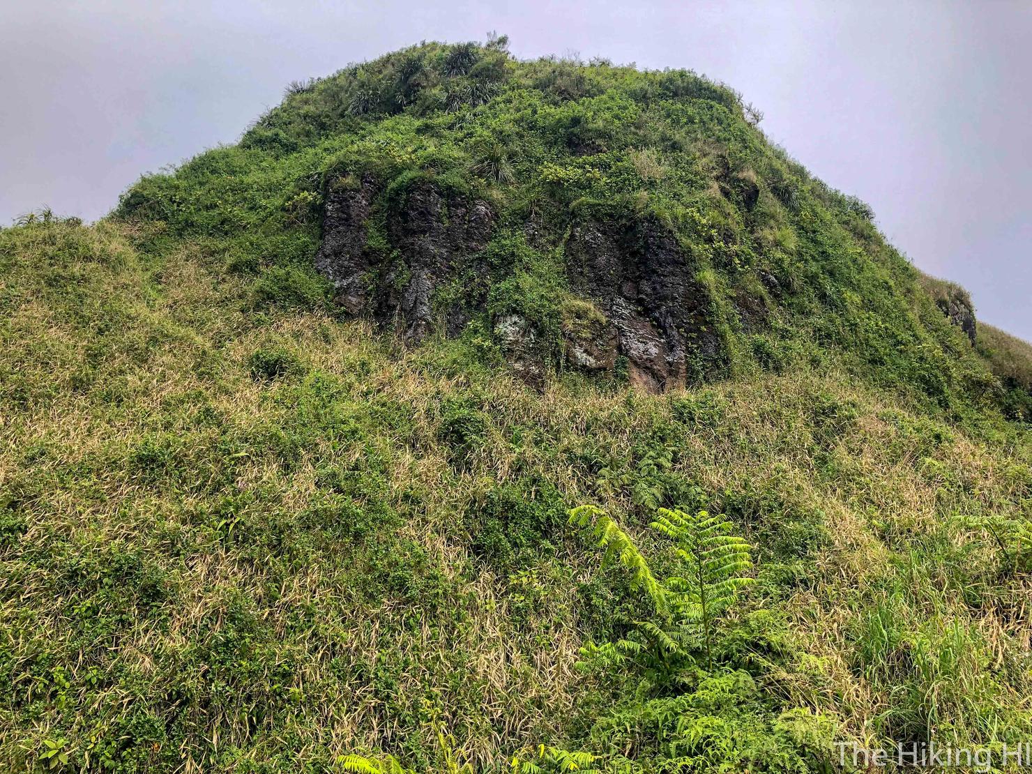
And then you will have to contour around the cone. It may not look like much from here.
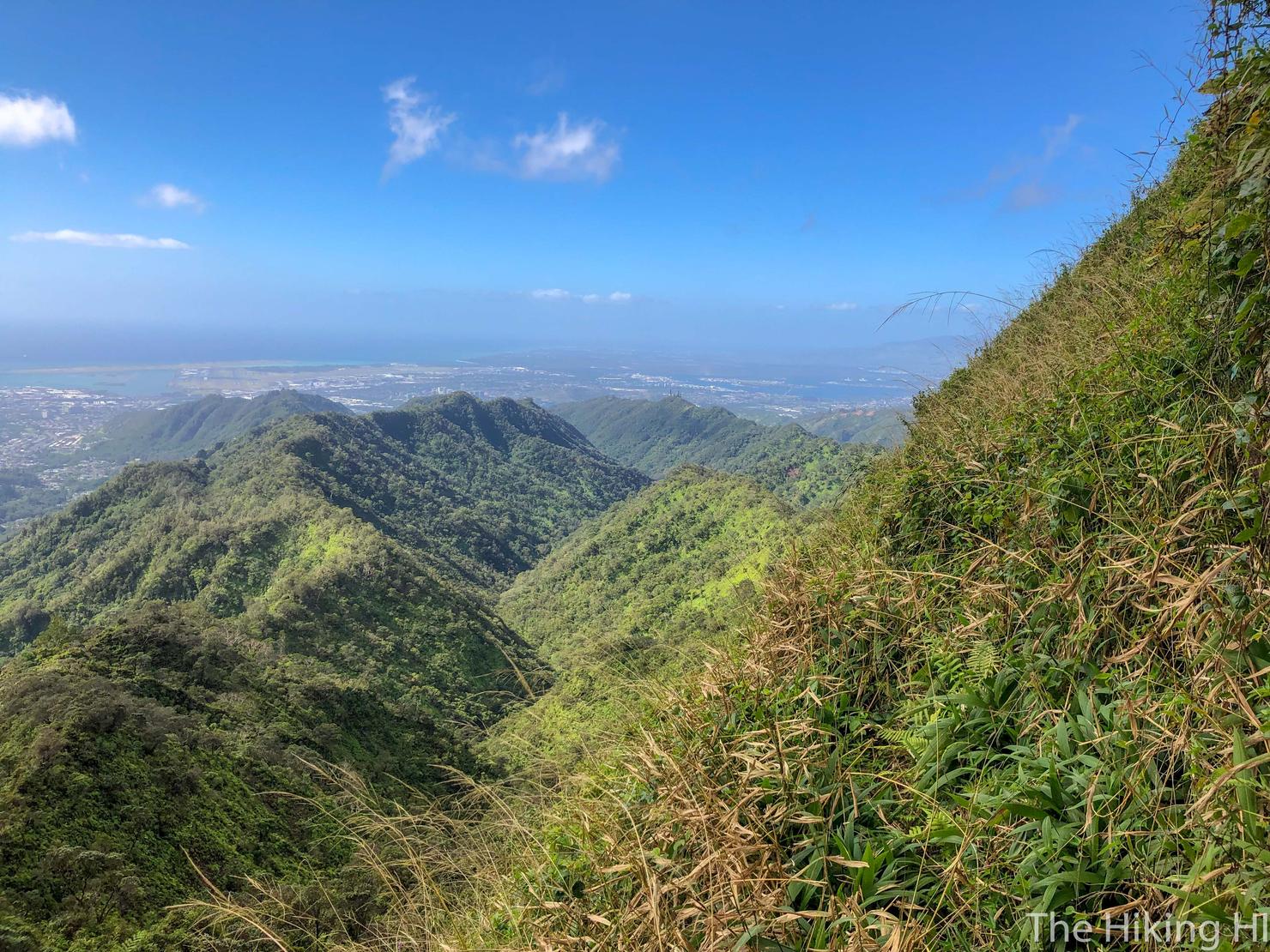
But I assure you, it will raise a few hairs. You are on a narrow grass ridge with steep drop offs on one side.
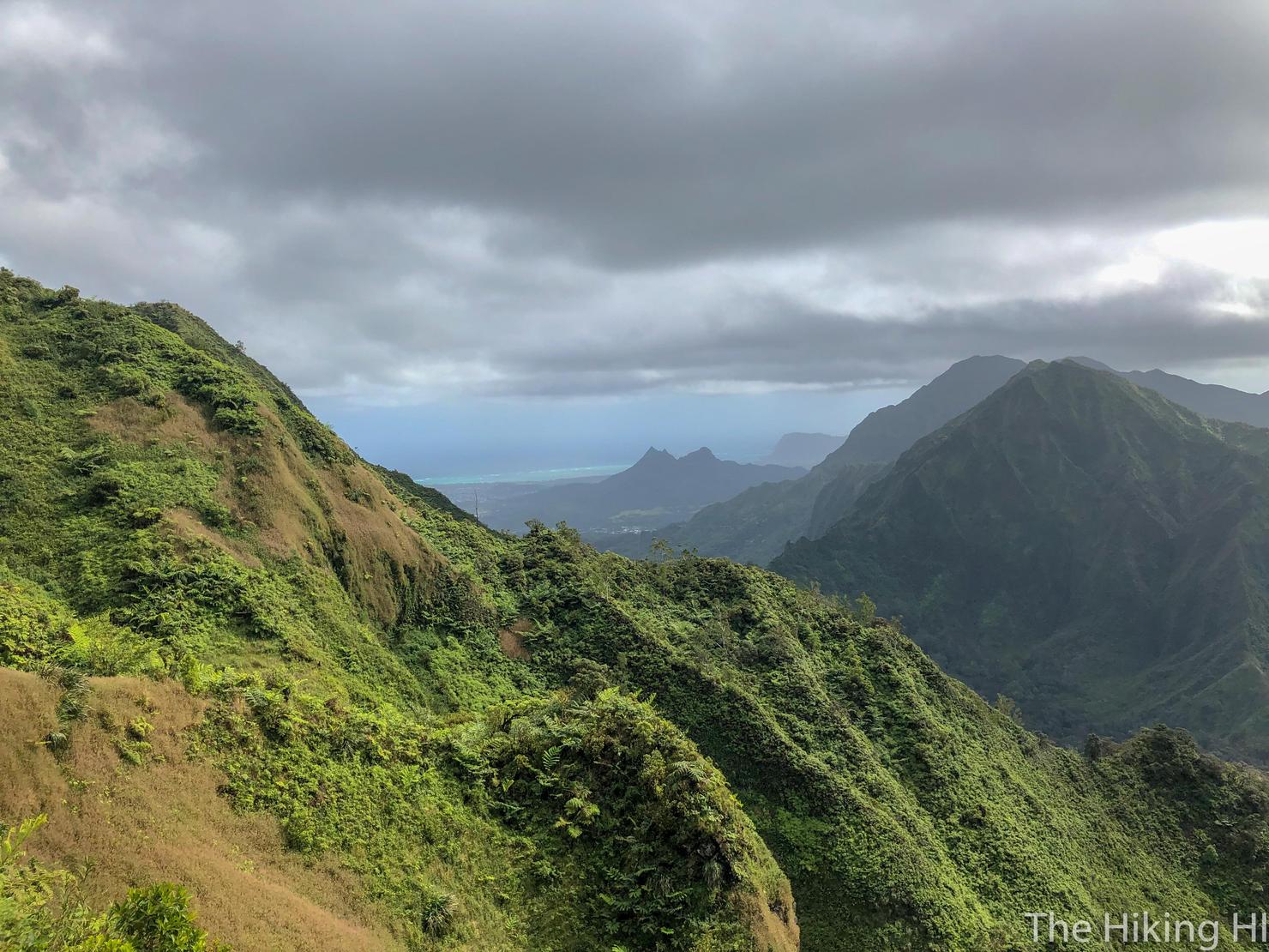
So calm yourself, with some of those beautiful views.
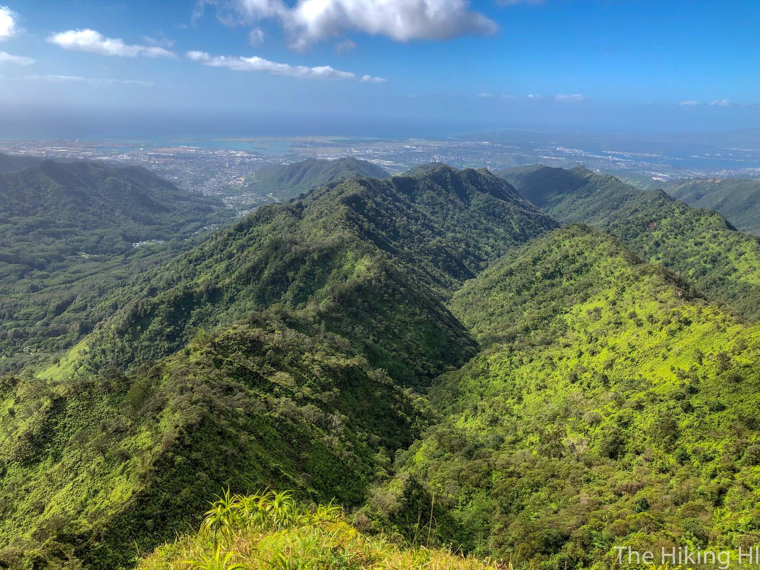
And we made it... past the cone. The scary section is now over. Time to relax and look at what we've accomplished so far.
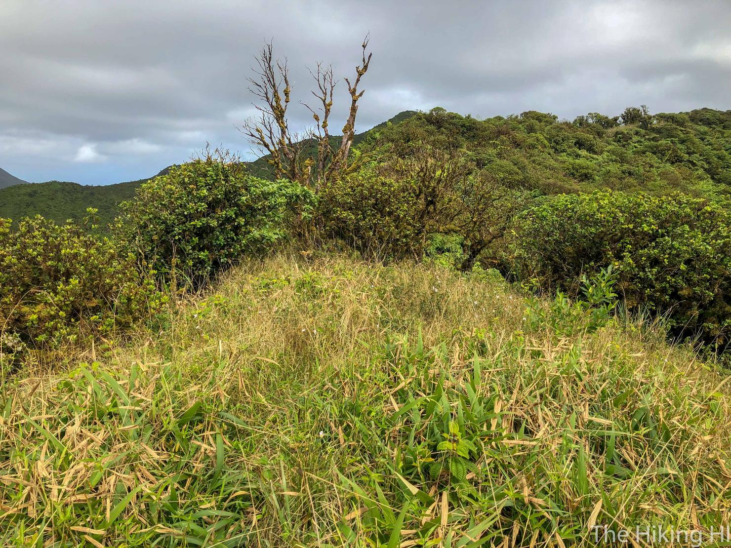
Because we're not quite at the summit. We still have to trudge through these thick 'ohi'a trees to reach the official summit.
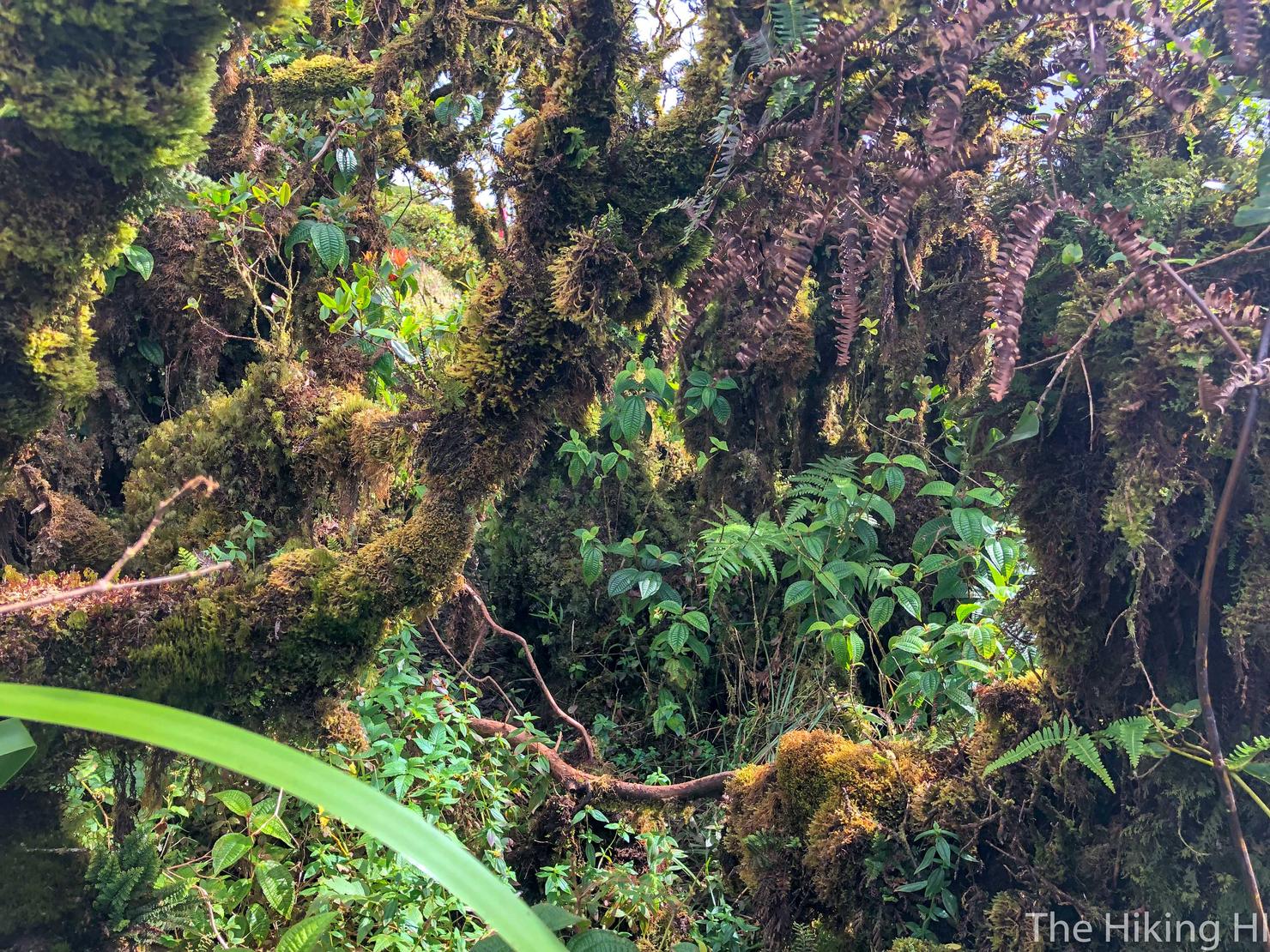
It is definitely possible to get a little lost wacking through here.
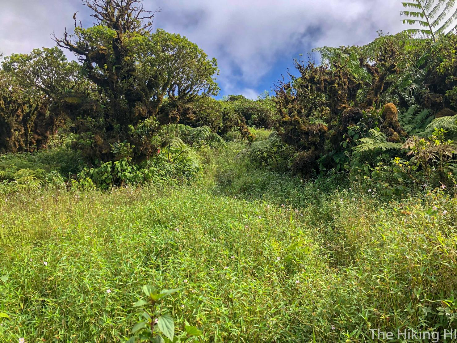
So just keep an eye out for the pink ribbons to find your way.
And after about it 20 minutes, we made it! It was a bit overcast, but the windward side was still visible. In my opinion, any day you have views up on the KST, it's a win.

Looking left you can see the continuation of the KST. If it's clear enough you will see a radar tower sitting a top the ridge. This tower marks the top of the famous Haiku Stairs.

And to the right you see more prominent Ko'olau Peaks, including Lanihuli and Konahuinui 1. Just off to the left is the gorgeous Three Peaks.
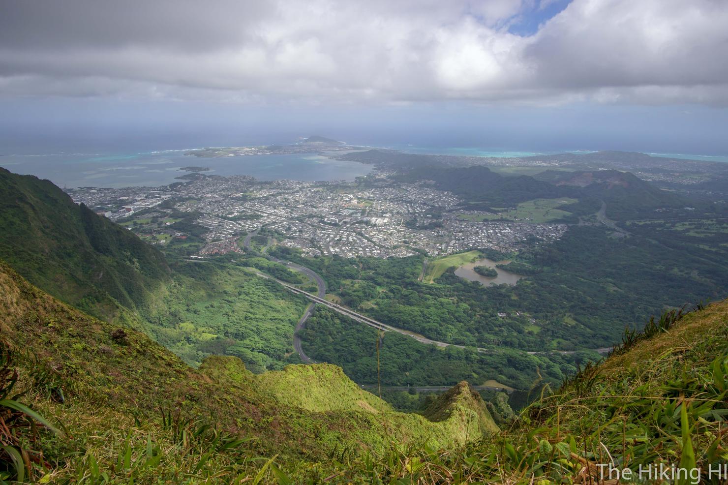
What a day to be up on the Ko'olaus! Completely alone, with another new perspective of the island. I hope that thrill of exploration never ends.
