Difficulty: EXTREME
Time: 7+ HOURS
Distance: 7 MILES
Elevation Gain: 3500 FEET
Foot Traffic: VERY LOW
Challenges: Narrow Ridges, Dangerous Free Climbs with Loose Rock, Steep Ascents, Overgrown with sharp plants
Sights: Waianae, Mount Ka'ala
What to Bring: Water (>3L), Lunch, Long Sleeves/Pants/Gloves, Flashlight, Sunscreen, Rope/Webbing
One of the lesser known hikes on the West Side, Bolohead Ridge is no joke. It requires traversing some narrow ridges, free climbing loose rock with steep dropoffs, and making steep ascents with nothing more than some brush to help you. However, if you are willing to take this challenge, you will be rewarded. Not only will the ridge take you all the way to Mount Ka'ala, the highest peak on Oahu, but you will have conquered one of the most dangerous and least attempted ridges on the west side of Oahu.
There were many reasons I started this blog. I wanted to tap into my creative mind and express myself. I wanted to create a visual and written journal so I can look back years from now, be proud of what I created, and reminisce on some of these adventures. One key event that sparked all of it was when my good hiking buddy Peter and I conquered Kawiwi to Kamaile'unu Knife's Edge ridge. It was a crazy adventure, full of mishaps, thrills, a few scare moments, but overall a satisfying achievement and a great memory that I wanted to share. It's only fitting that about a year later Peter and I returned to the West Side of Oahu to accomplish another Extreme hike on our Bucket list-- Bolohead Ridge.
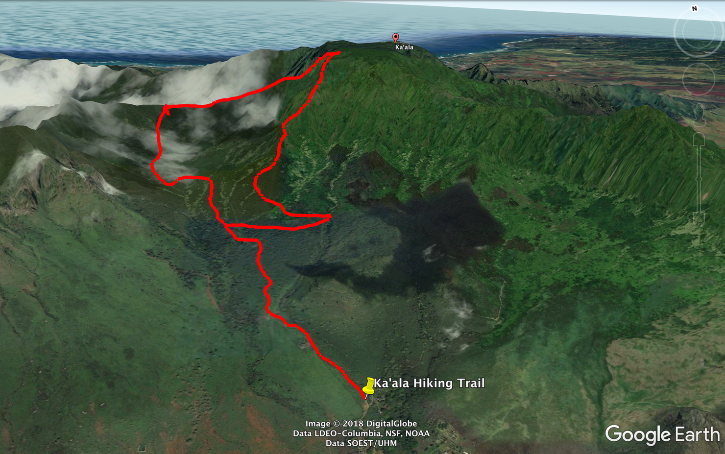
Here's a rough sketch of the hike. Our route was a loop hike that takes you up Bolohead Ridge, connects to Mount Ka'ala and then takes you back down Waianae-Ka'ala. This route is one of the six ways you can reach Mount Ka'ala. For the more straightforward route up Waianae Ka'ala, check out my other post.
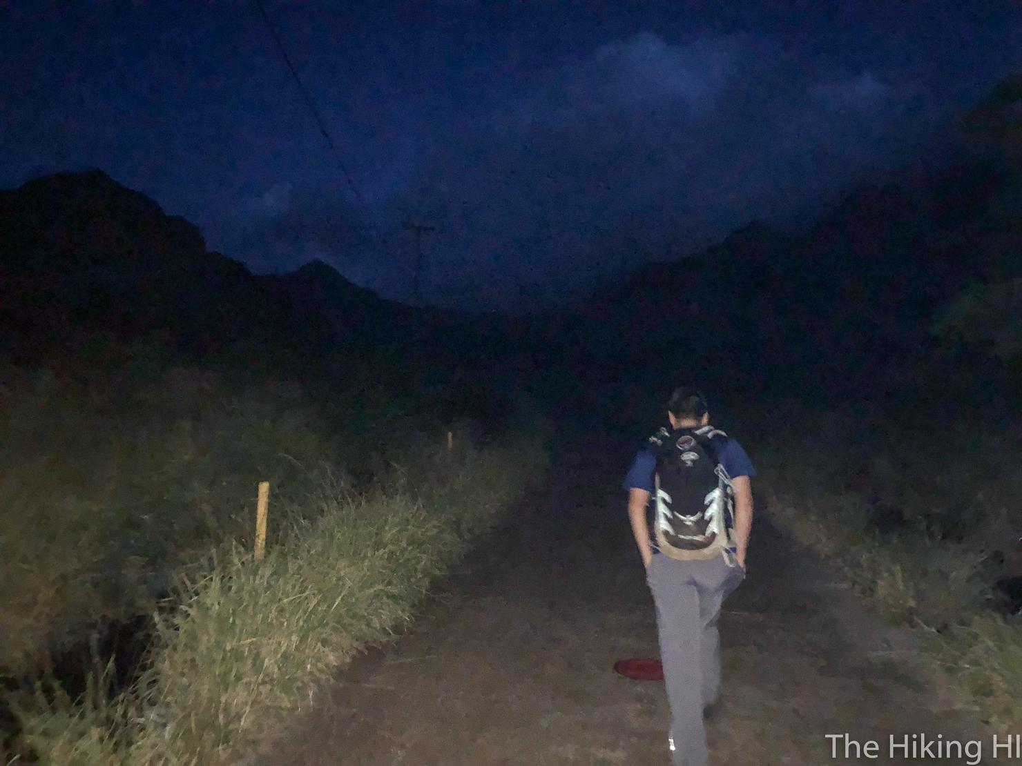
Our hike begins along the paved path at the end of Waianae Valley Road. You park in the dirt lot off to the left before walking through a gate to get to the paved path. This lot is known as the Ka'ala lot since most people coming here are trekking to Ka'ala. We too were going to Ka'ala, but via a much different route.
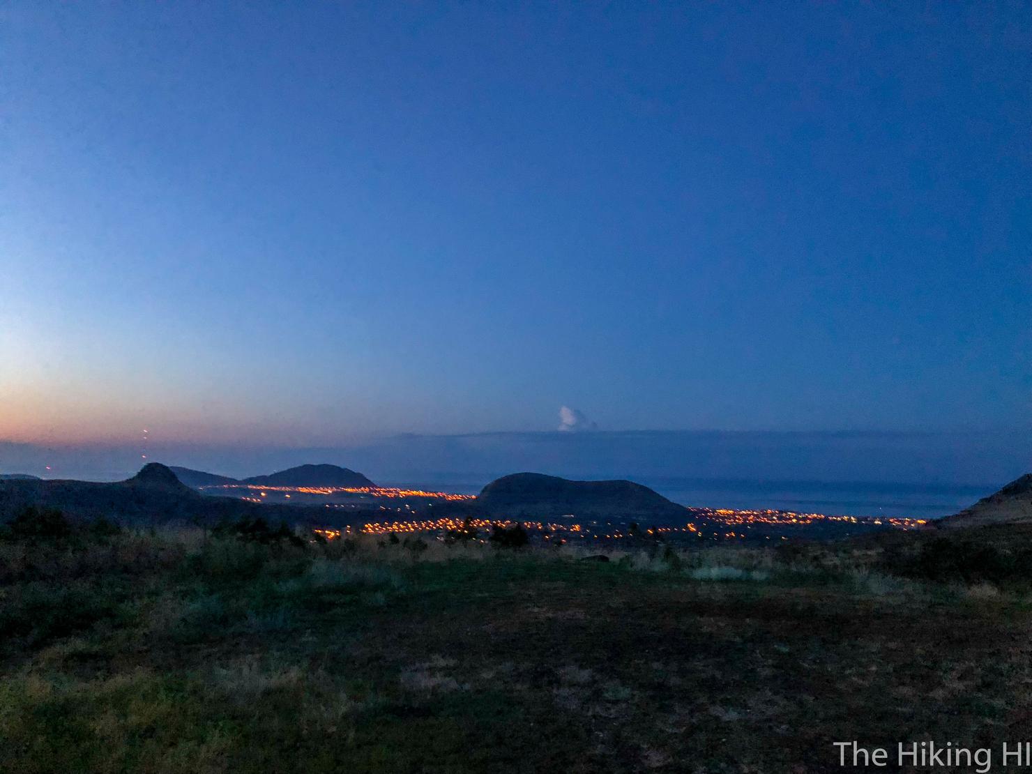
Our day started early. We were hiking by 6:40. I have learned to always get an early start for these extreme hikes. You never know how many times you will get lost or what the conditions will be. The up side to starting so early is we got to see the morning light begin to illuminate Waianae.
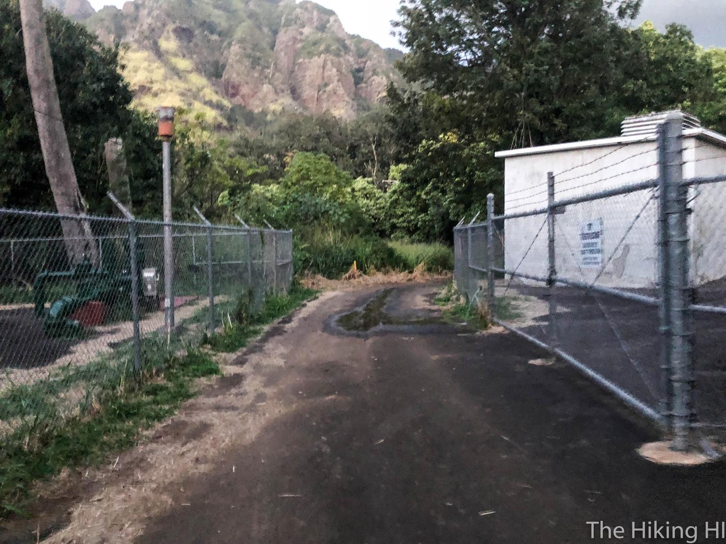
After walking for 20 minutes you will reach a gated section with a few buildings and tanks. This is the first water treatment station and based on other blogs we used as reference, signifies the cut into the forest is coming shortly after.
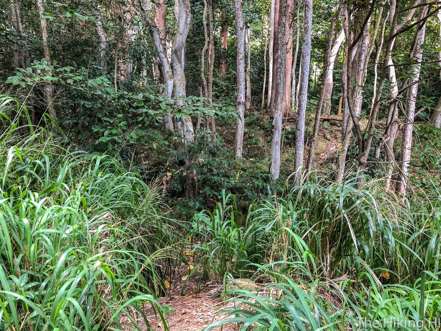
Here is the cut in to the forest, located on the right side of that path. It isn't that obvious, but it is the most beaten down path in the vicinity. The key to knowing if you are on the right path is that you will see a tree with a pink painted dot on it very shortly into the forest. You can almost make out that dot in this photo.
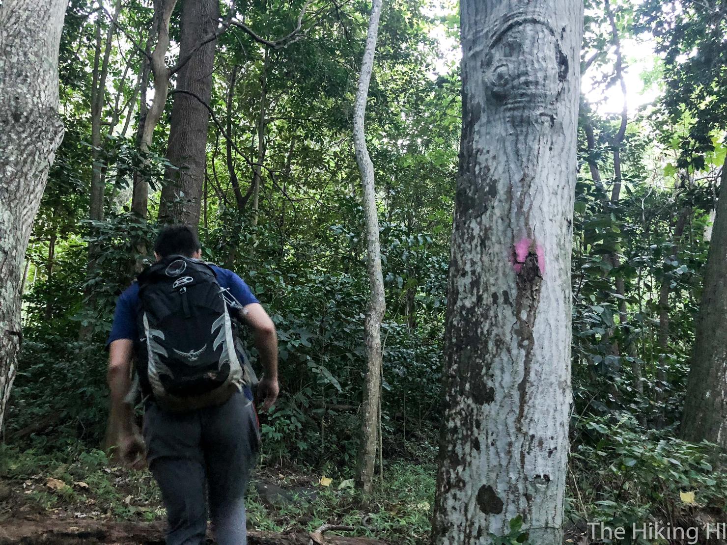
There's that tree. The surface actually kind of looks like it has some eyes on it doesn't it?
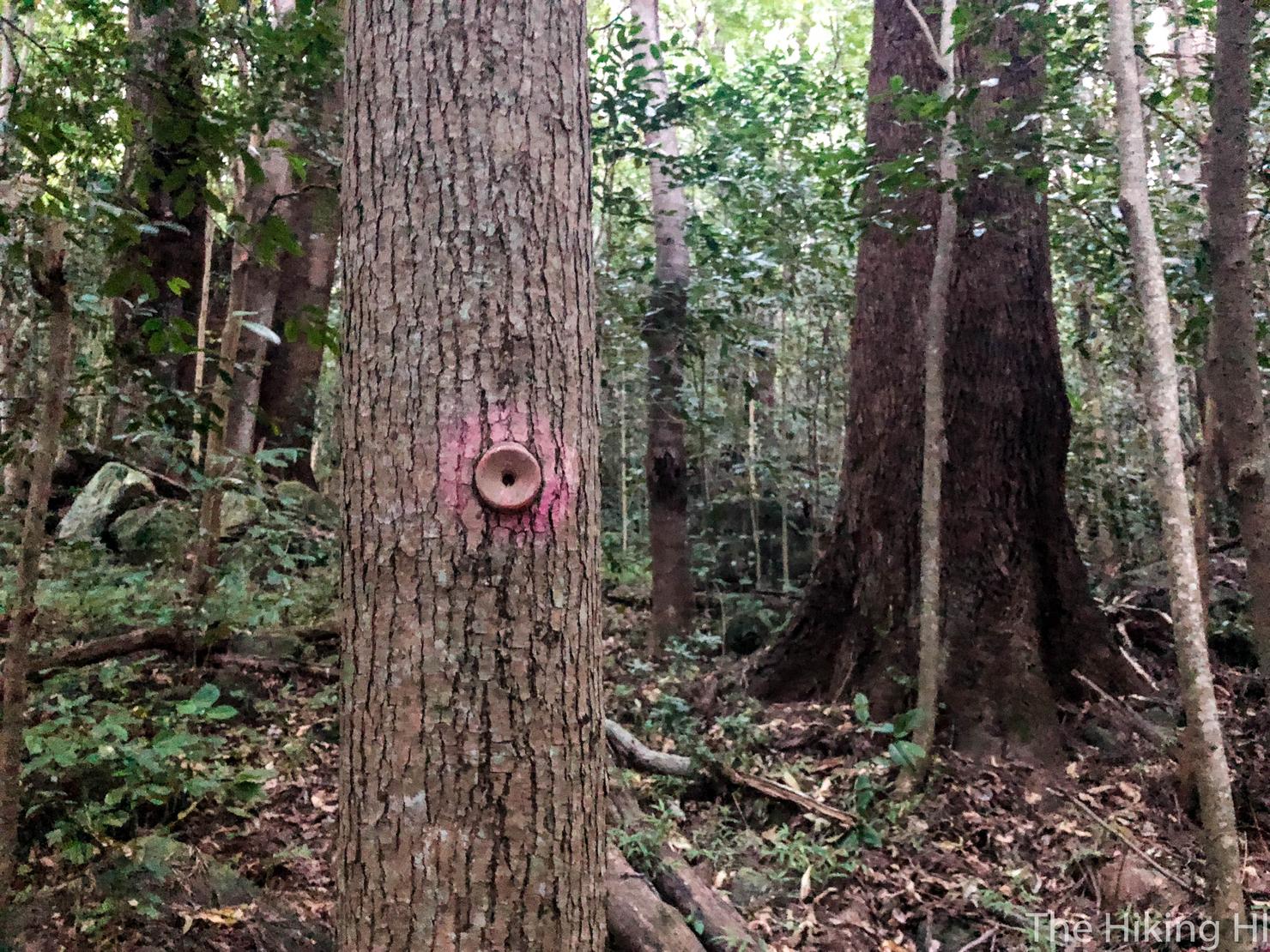
Getting to the ridge was surprisingly easy. It was very well marked. You will see a variety of markers from pink dots like this.
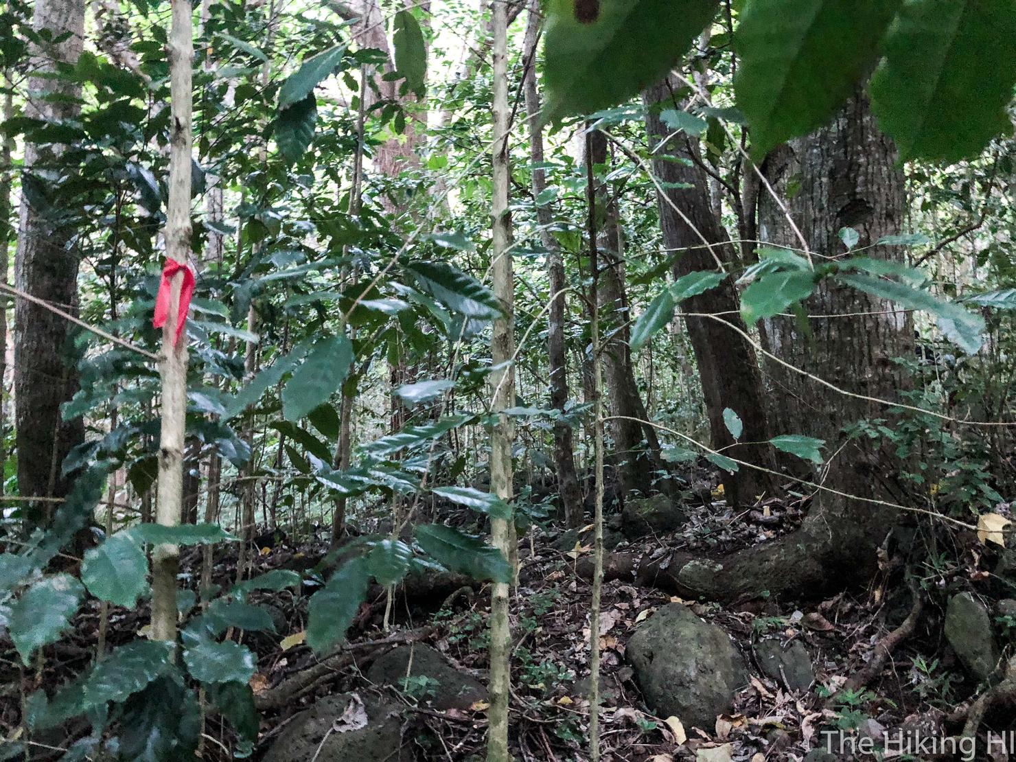
To other colored ribbons like this. They are frequent so you should always be looking for the next marker. Initially, you should have what looks like a dry stream bed on your left side. Eventually you will have to "cross" this dry stream bed. If you lose sight of the markers (like we did), it is likely you were supposed to cross. Backtrack and keep following the markers.
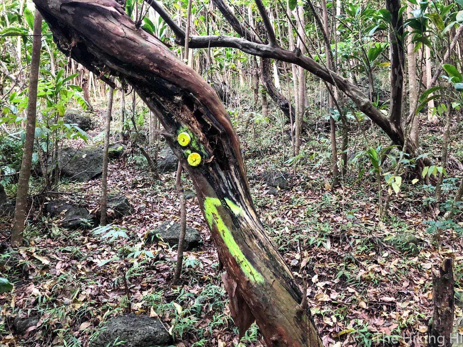
Eventually you will come across this vibrantly painted tree. This is the portion where there is a fork and trail markers leading two different directions. You should follow this yellow arrow to the left. This is the path that will take you to the ridge.
This is also where our hike got some excitement, because just before reaching this marker we heard some rustling in the brush. All of a sudden we saw ten dogs rushing towards. Since we were in a hunting area, I knew them to be hunting dogs. However, I wasn't sure if these dogs were trained to kill...
Peter and I stood very still. The dogs surrounded us and then... they just stood there. No attacking. Really they just looked like they wanted to lick us, but we couldn't be too certain. Finally we heard someone calling them away.
We saw the man who had called them in the distance. He asked where we were going and when we told him he, in a very unfriendly manner, he told us to turn around and go the other direction. He was going this way and we were unwelcome. I was very annoyed by the way he told us this. It's not like we are on private land, but I didn't exactly know the hunting rules, and I wasn't about to get in an argument with a guy with a gun. We turned around and backtracked.
Peter and I both came to the conclusion that we would give this guy and his dogs a few minutes to get some ground on us before we continued. We were fairly certain they would not be making the ascent up to Bolohead.
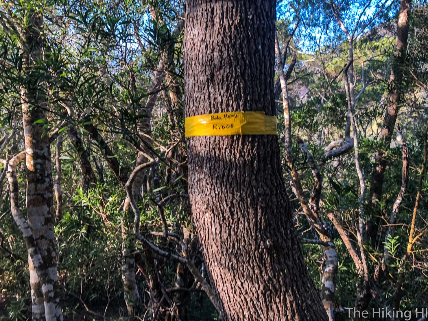
Our plan worked out perfectly and now it was time to worry about the hike itself. After another 15 minutes of hiking we reached this yellow ribbon titled "Bolohead." 180 degrees from this photo is the path that is the beginning of the ascent to the ridge line.
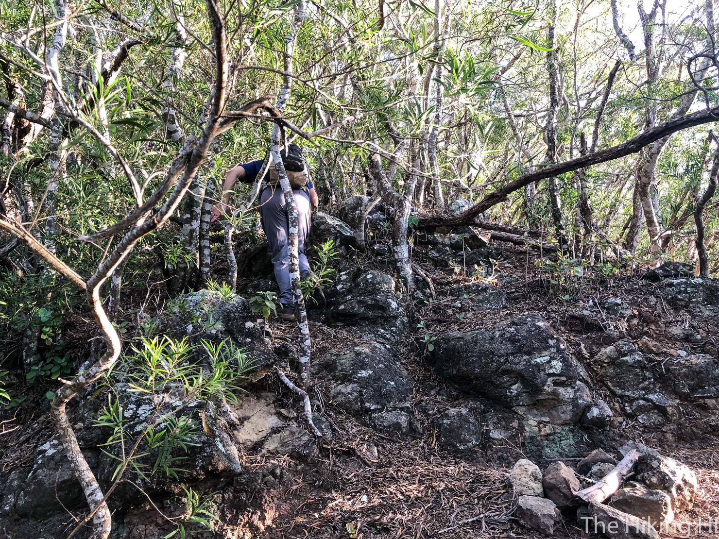
This ascent has a few markers, but they are sparse. You just need to keep going up to reach the ridge line.
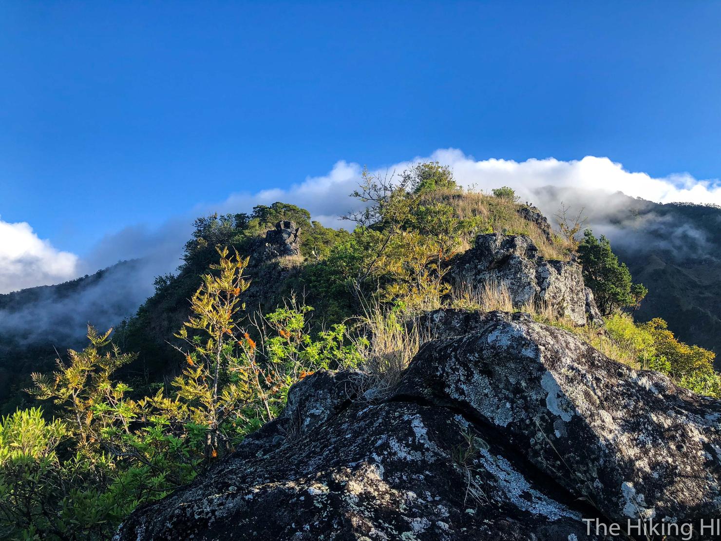
And here we are, Bolohead Ridge! You can't quite see it yet, but there is a lot of excitement that lies ahead. Narrow ridges, crumbling rock, and free climbing-- Dangerous Hawaii Ridge Hiking at its best!
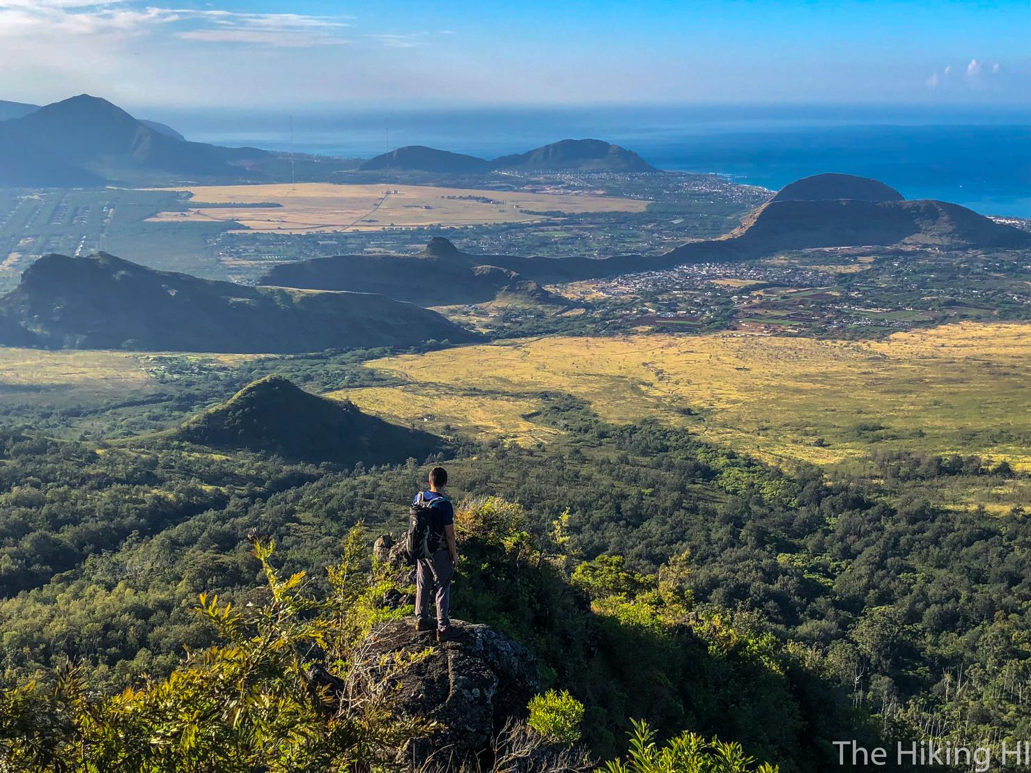
So just make sure to turn around and take in Waianae (like Peter is doing) in case it's your last time... ok bad joke. But seriously, this hike is about to get extreme. My last plug for safety. Know your limits and the risks!
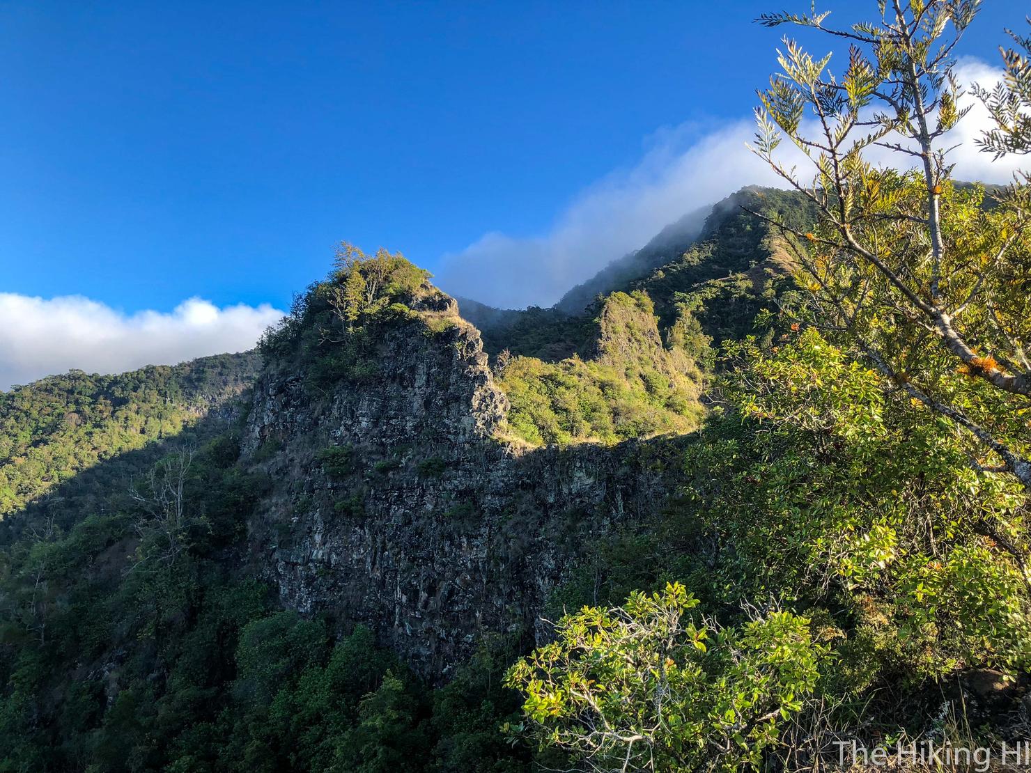
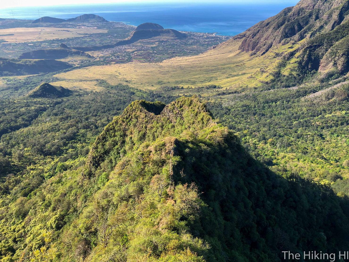
Because this is what we are about to conquer. That first part is a narrow ridge line followed by a steep free climb and that second hump is Bolohead itself, where the hike got it's name. The ascent up it isn't too bad (albeit quite steep), but the descent down the backside... just wait. Alright let's get after it.
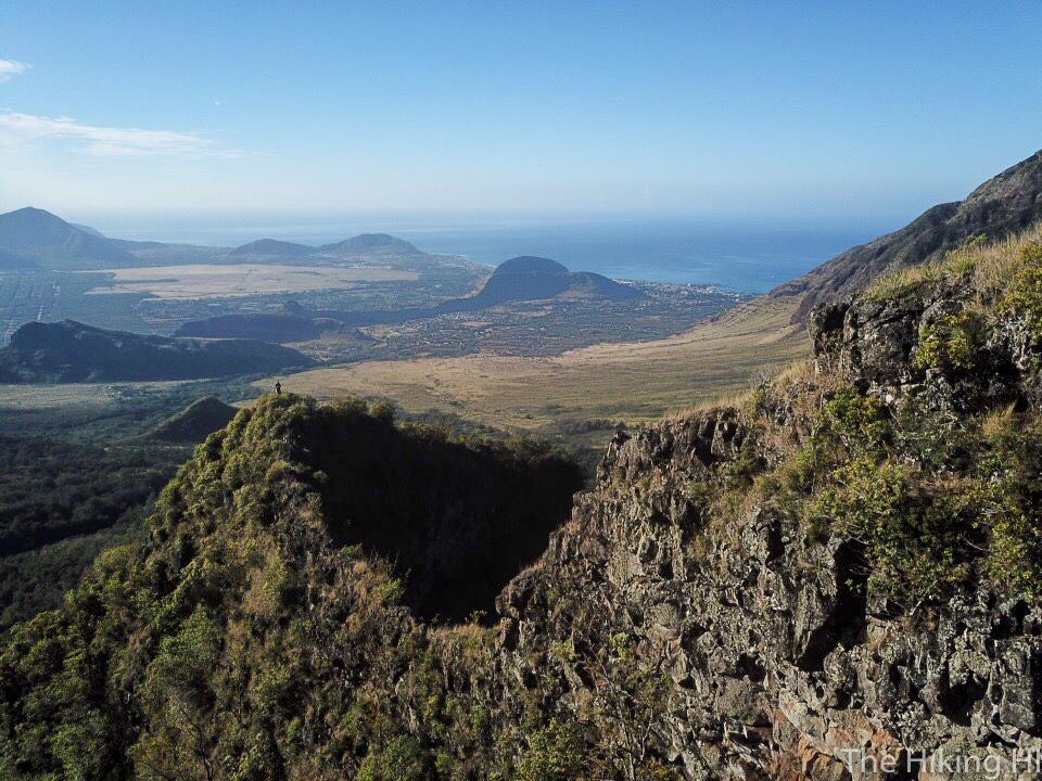
Great thing about hiking with Peter, he is fearless. He's the one that always goes first and then I follow. And as you can see from this photo, it has also allowed me to play with my drone to get some footage. This is the first Extreme ridge hike I've taken my drone on, and I'm pretty happy with the results.
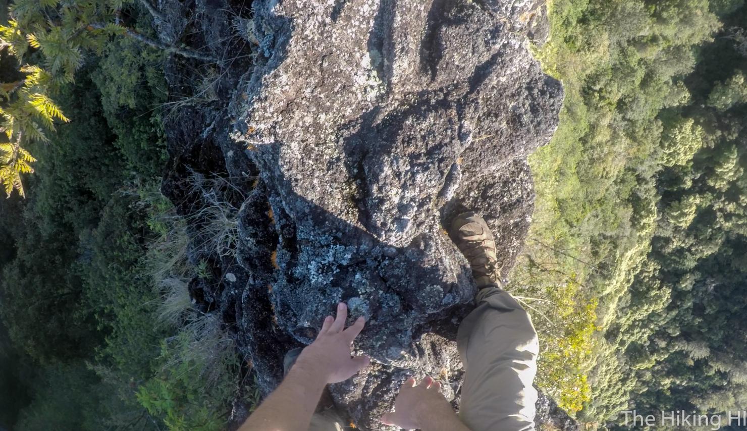
Ok. My turn. It's just a bit narrow here.
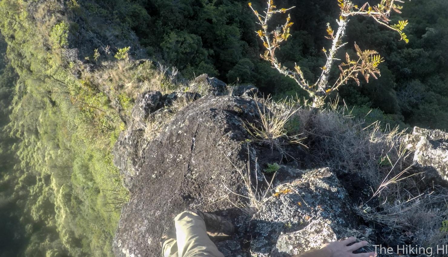
Now for the ascent. There was no rope on this section and the rock was somewhat loose. Just gotta make sure it's a secure surface before taking your next step. There were a decent number of good holds so it is not impossible without a rope.
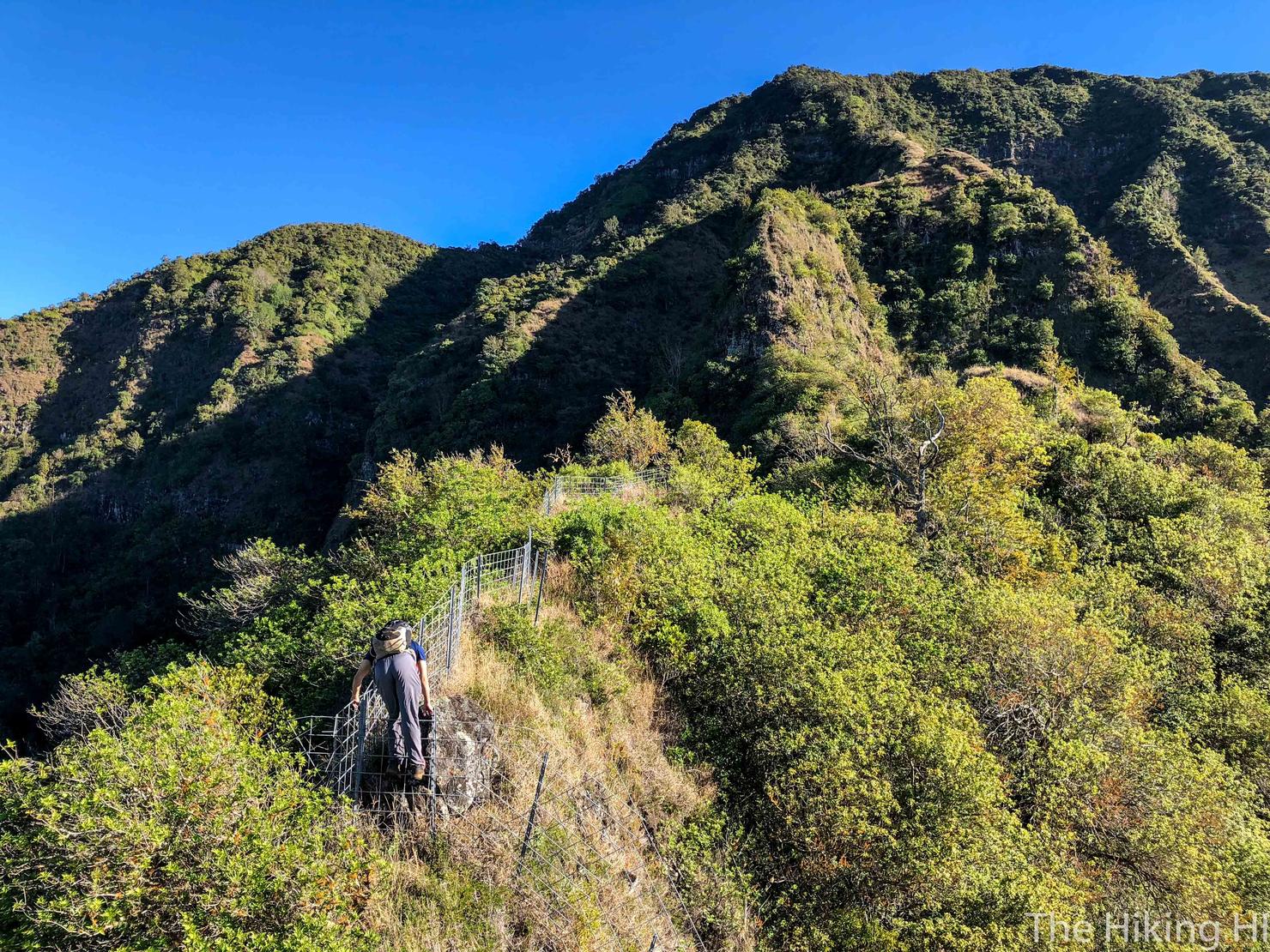
We made it. On to obstacle #2, Bolohead itself. Bolo means bald, and was named because that ridge resembles a man with a bald head. Not sure I see it, but it is still a good name. To get there you are required do a little fence hopping. It is narrow, but just use the fence for support.
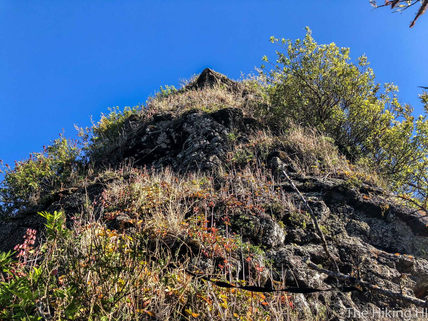
Now for the ascent up Bolohead. Very steep, but there was some webbing to help you get up there. This ascent was more physically exhausting than anything.
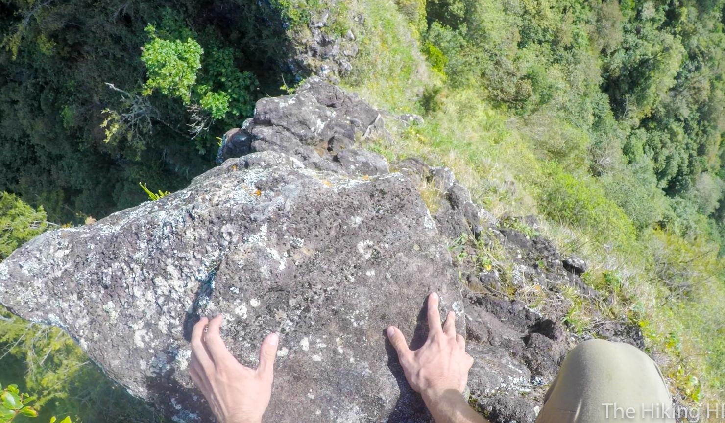
And we are here, looking down the back side of Bolohead. My nerves definitely jumped up a bit looking down at this. It wasn't quite the height of the infamous Chimney of the Pali Notches hike, but it was still nerve racking.
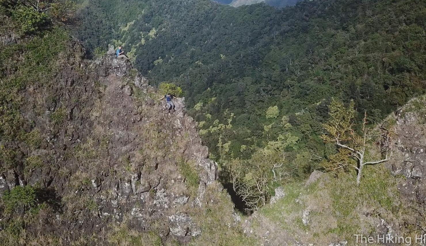
As is tradition, Peter went first. I found a nice little perch to get some aerial footage. Shortly after this, I caught a shot of Peter kicking off some loose rock and it tumbling down to the valley below. No problem for Peter though. He just kept on going. I'm pretty sure climbing down this would be too risky without this webbing.
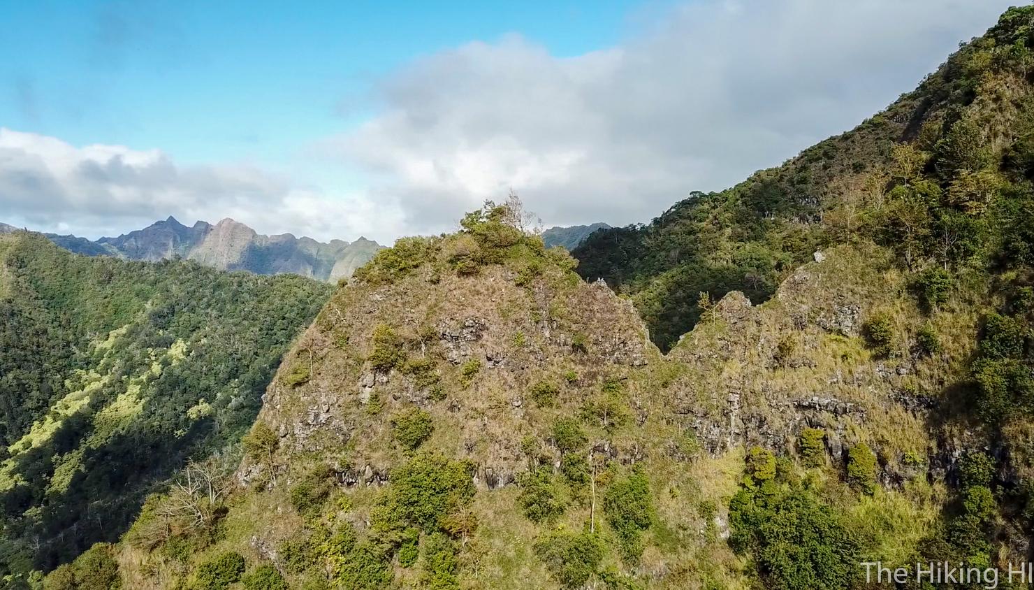
A zoomed out perspective of Bolohead.

A shot of me on my perch. Launching and recovering my drone was quite the challenge up here, but I managed to get everything back in the bag without anything tumbling to the valley below. I suppose I have to make the descent now too.
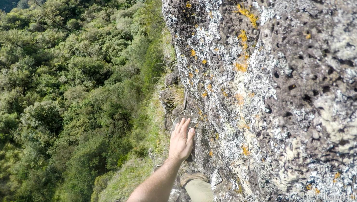
Yep. Let's try not to fall.
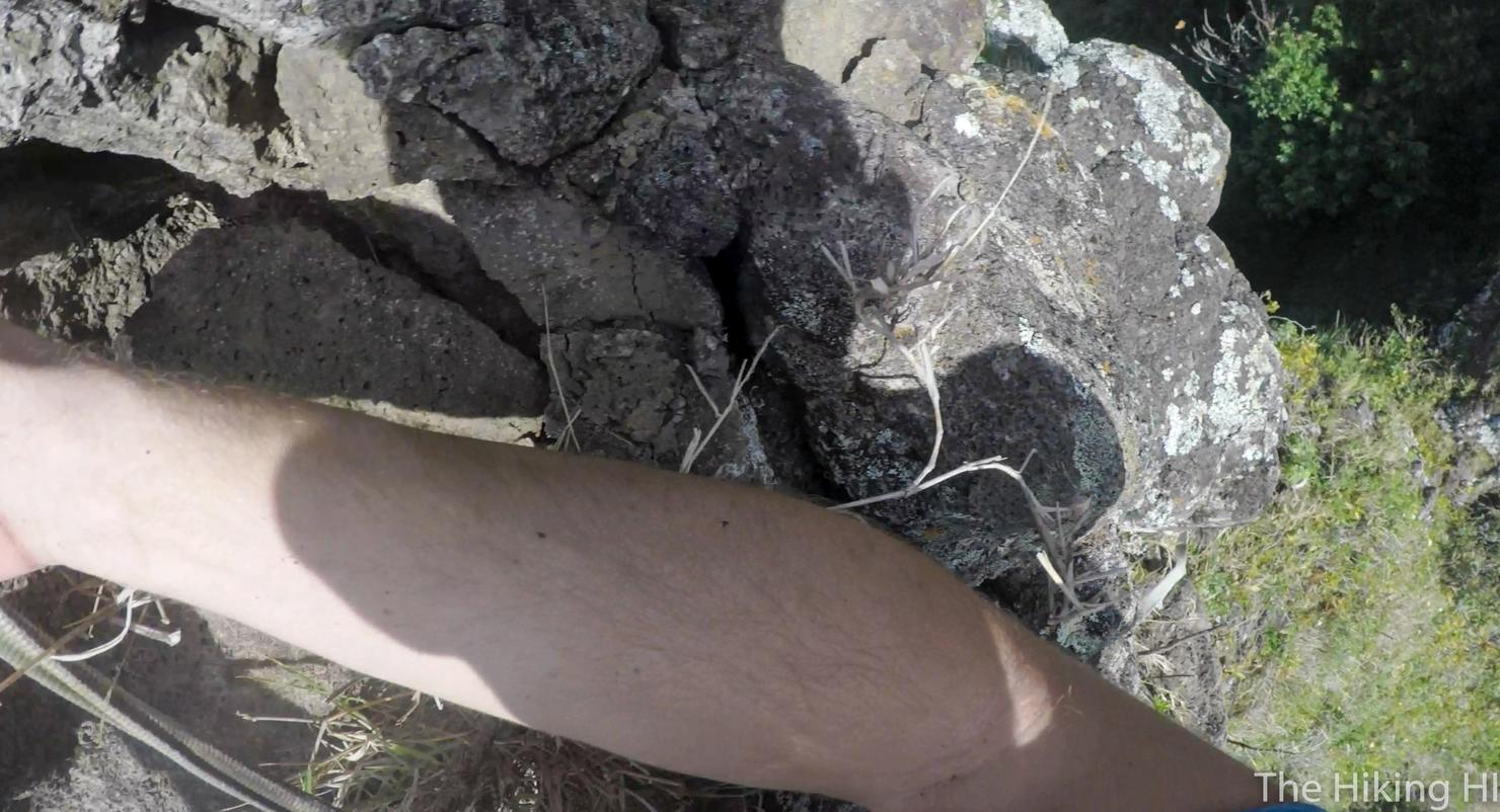
A way of showing the rock we are dealing with. Very crumbly.
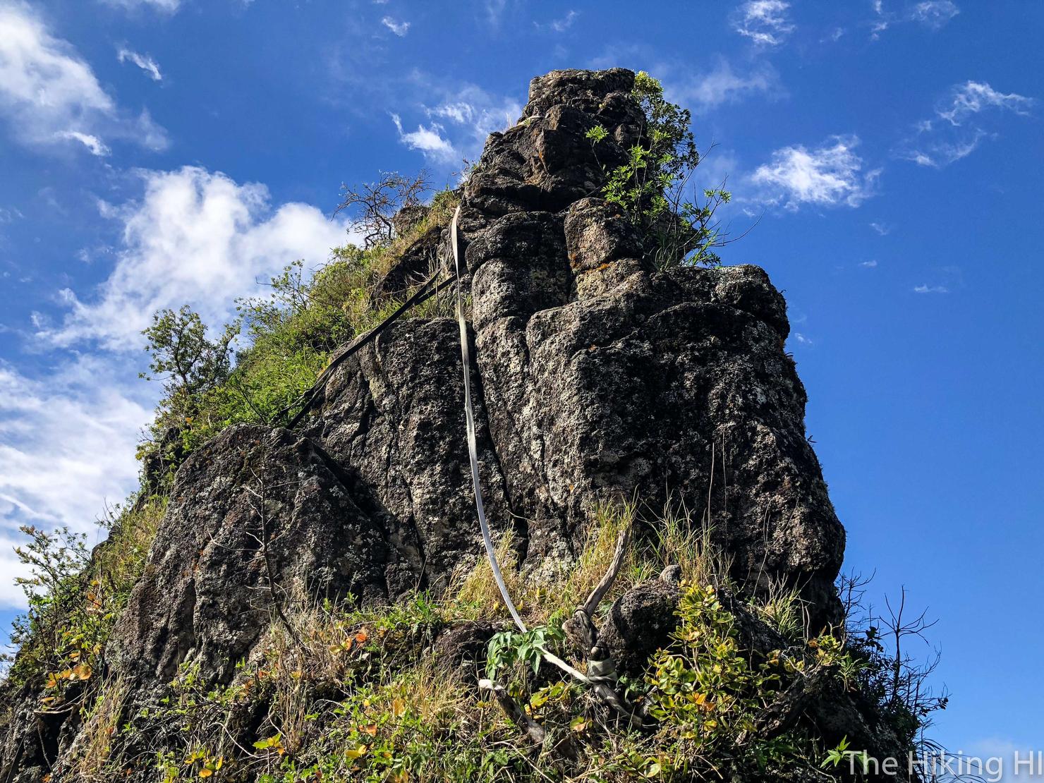
But with a little persistence (and a lot of reliance on the rope) I made it down to the base. Looks less intimidating now, but I can assure you looking over your left shoulder descending down the side was plenty scary.
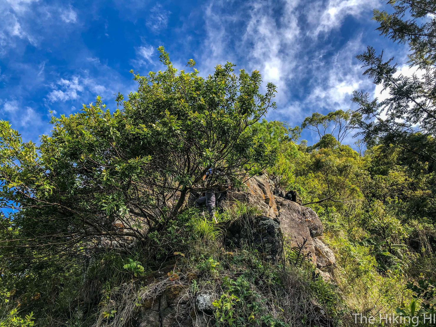
After making it past those sketchy climbs, you would think the hard part is done. However, if you plan on making the trek up to Ka'ala, you would be wrong. The technical challenge is over, but now comes the physical/mental challenge...
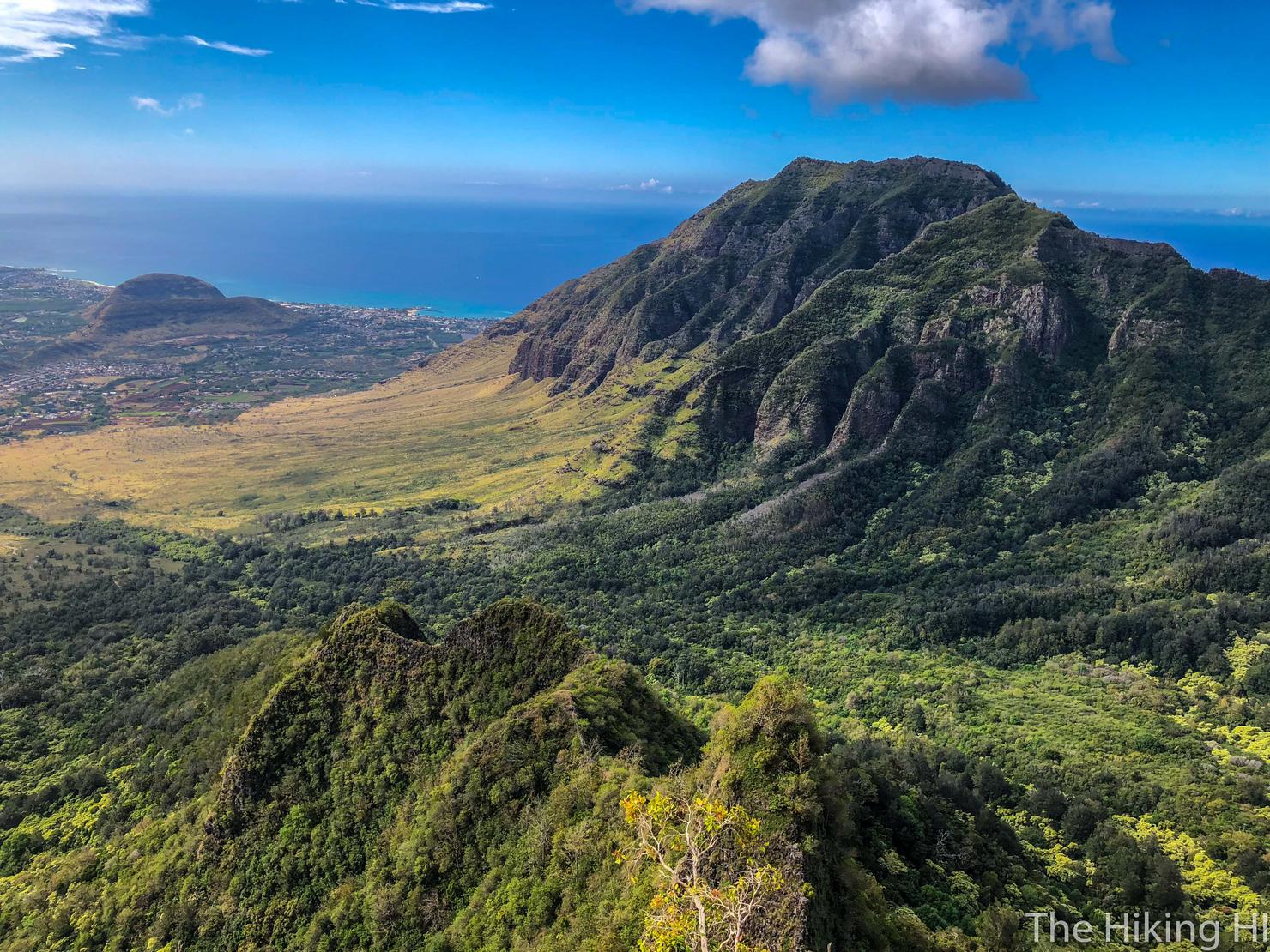
So make sure you take in the beauty of what you just accomplished.
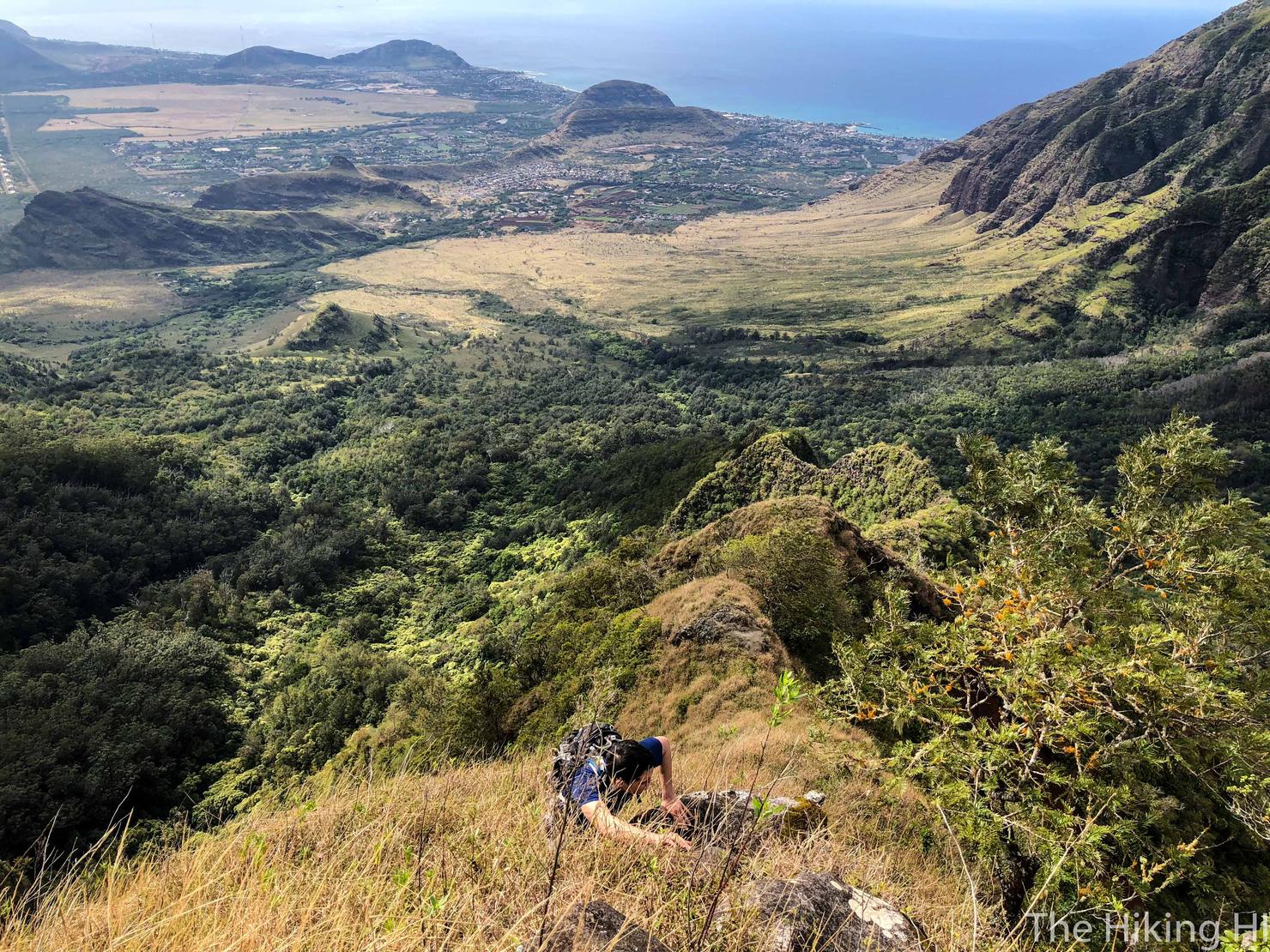
Because it is quite the uphill climb.
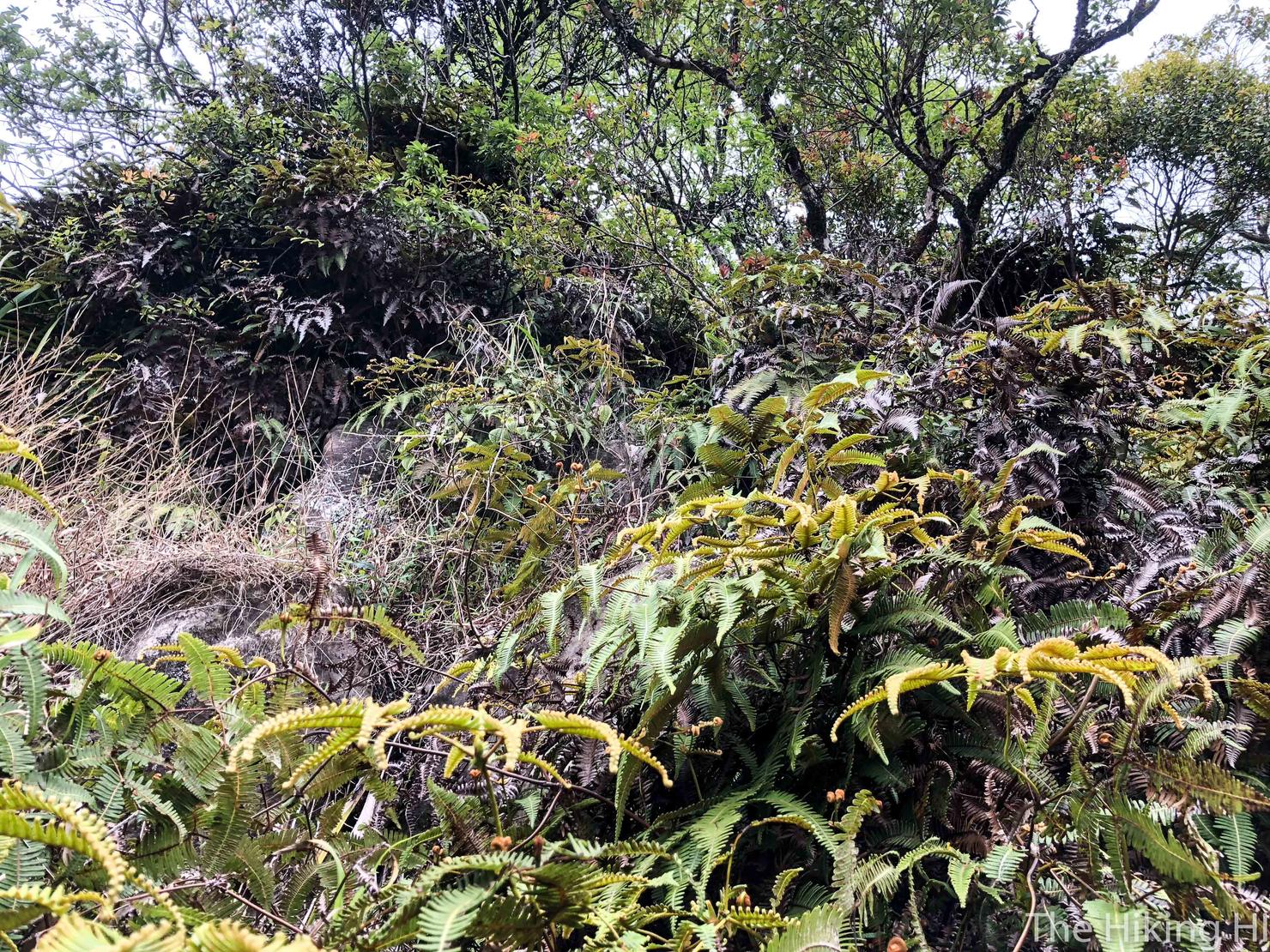
Something Peter and I were not prepared for was how overgrown the trail gets past Bolohead. It is brutal, probably as bad as our attempt to summit Pu'u Kalena, the second highest peak on Oahu. Not only is it overgrown, but it's steep! You basically have to grab whatever you can to leverage yourself upwards. There's also tons of thorny branches that actually can cut you through your pants! This is why I think gloves, long sleeves, and pants are a necessity for this climb.

But after another hour and a half, we had reached what felt like the end of the uphill climb. Unfortunately, this is the part of the hike where we got lost. We saw some people on this adjacent ridge, clearly hiking to Mount Ka'ala's summit. However, there was no clear path over to reach them and the terrain in front of us dipped pretty significantly.
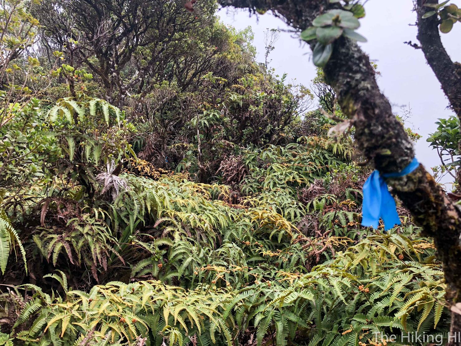
So we decided to follow these trail markers. Initially, we thought this would take us to the intersection of Ka'ala Trail.
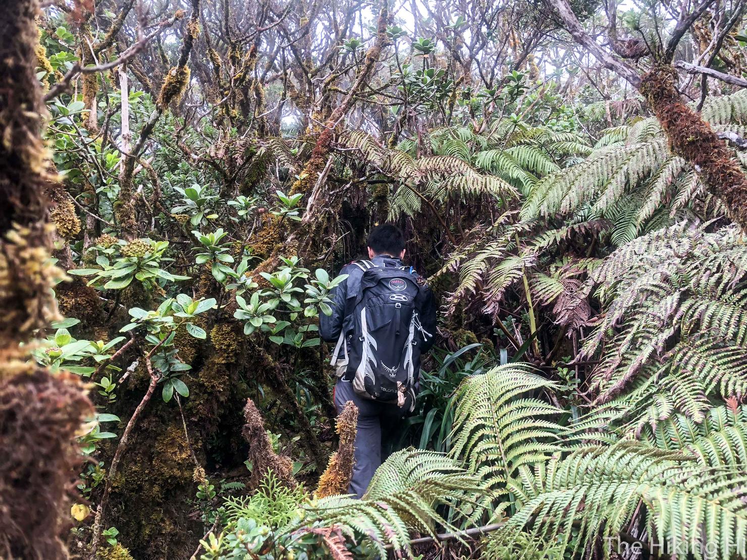
After following these markers for a bit, we realized it was taking us too far away from the Ka'ala trail. We decided to call an audible and pave our own path, using our phone GPS to try to intersect the Ka'ala trail.
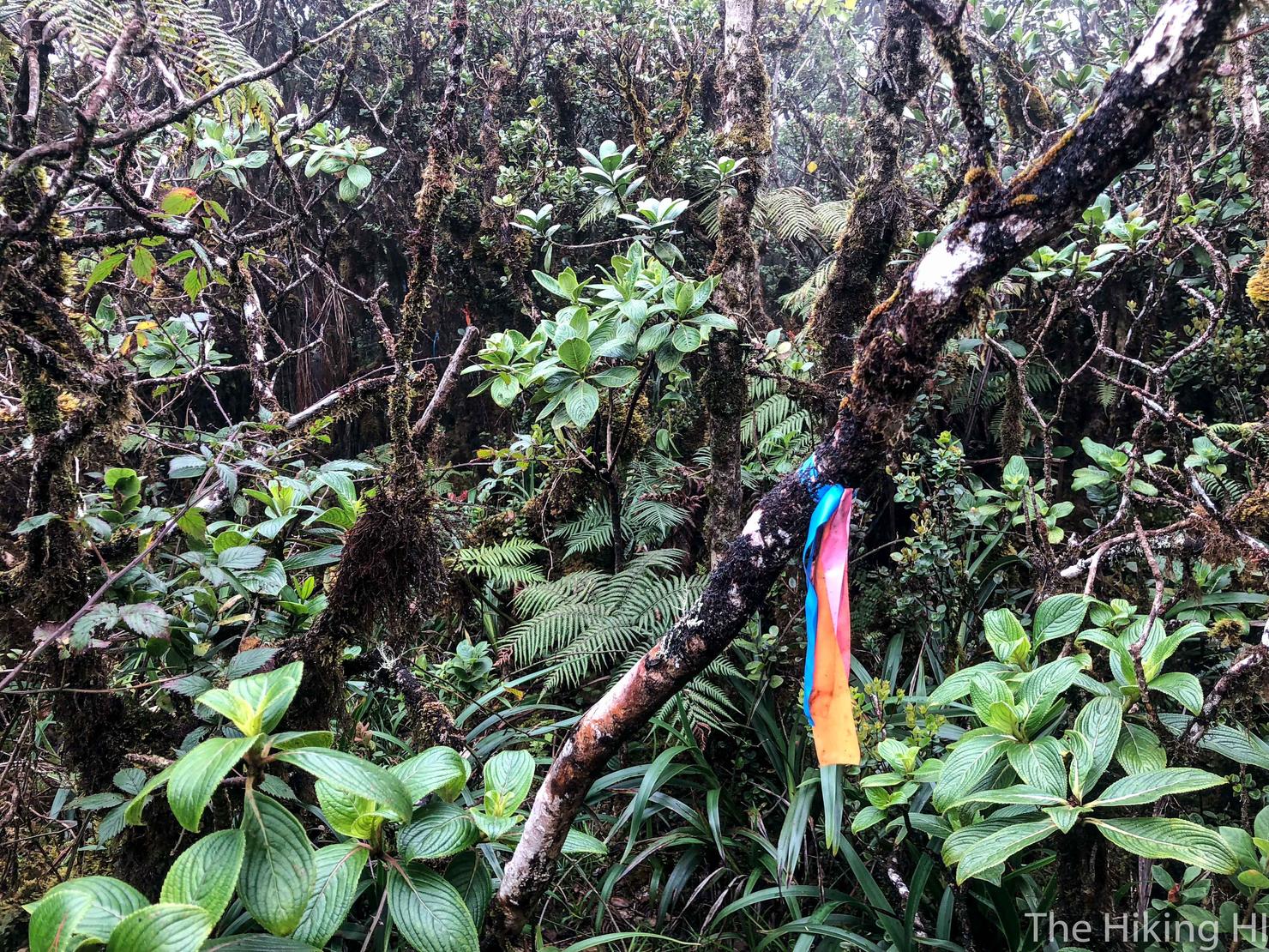
Eventually this bushwacking led us back on this "trail" indicated by three different colored ribbons. We took a left.
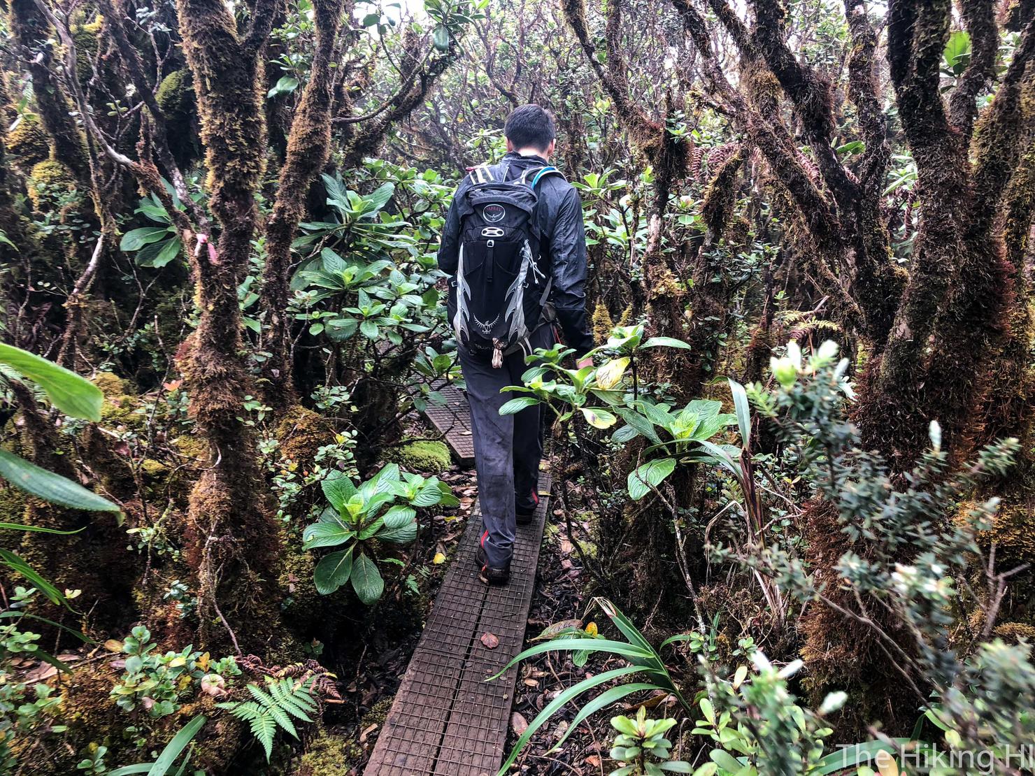
And this trail led us to these planks, which we knew to be part of the Ka'ala trail. After hiking for almost 6 hours, we decided to forgo the short walk to the Ka'ala summit (it was cloudy anyway). We were ready to begin our descent and really just get some lunch!

And as we made our way down, we got one more glimpse of beautiful Waianae, as well as that ridge we had just conquered.
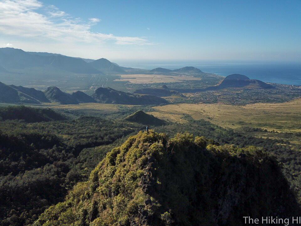
One final shot of the morning overlooking Waianae. As I sit here typing this post, looking at the many cuts from this hike that are still present on my body, I can't help but smile. It's been about one year since I began this blog. One year full of adventures--some easy, some hard, but all beautiful in their own way. I cannot help but be proud. Proud of how much I've seen on these incredible islands, proud of the memories I've created, and proud of how much I've grown as a person. Every day isn't paradise, even in Hawaii. But being able to reflect on my time here and be happy with what I've done is all I really need. Finding what brings you that inner aloha, whatever it is, is really what matters.
Check out my two videos of this wild hike!
