Difficulty: BEGINNER
Time: 1.5-2.5 HOURS
Distance: 4 MILES
Elevation Gain: 700 FEET
Foot Traffic: LOW
Challenges: Potentially muddy
What to Bring: Water
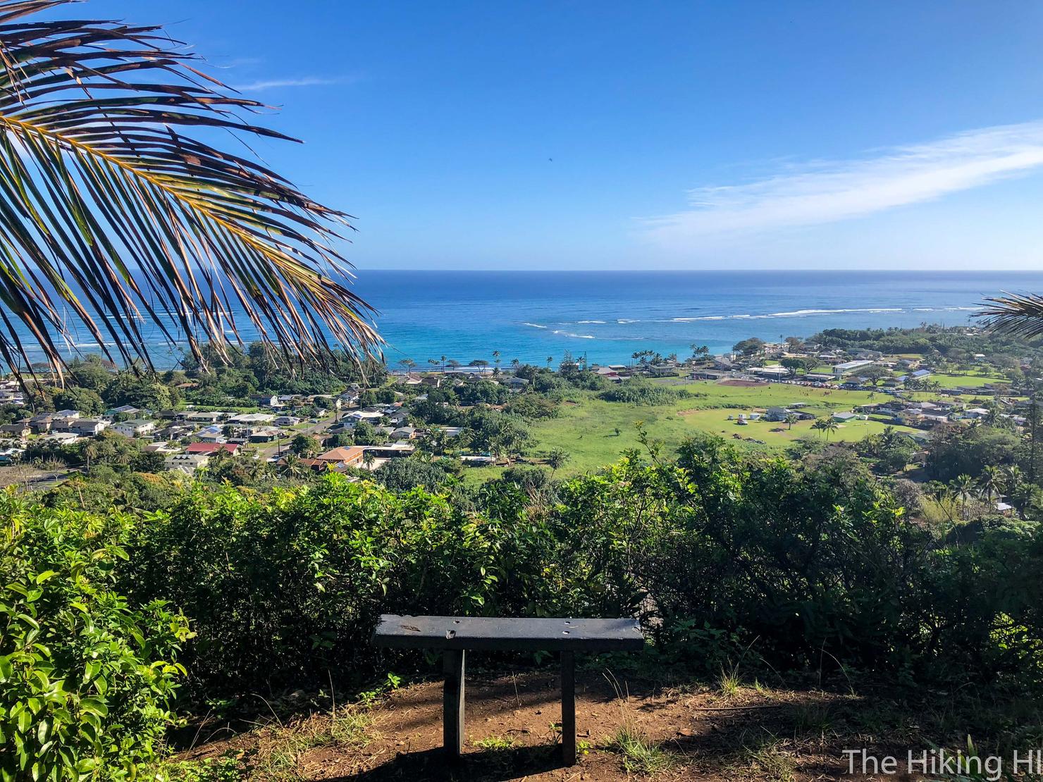
A nice easy stroll through the woods located on the Windward side of Oahu, this hike gives you periodic views of Hau'ula a well as the neighboring valleys. For those who want a little bit more, you can continue up the ridge to get more expansive views of the Windward coast. This is a great hike for those simply looking to be outside in nature without any overwhelming crowds.
Wow, it's hard to believe it's been almost two months since my last post! I had a busy holiday, checking off an item on my Non-Hawaii bucket list, by taking a three week trip around Australia (check out my YouTube Playlist of these adventures). But now I'm back! I had big plans to get back into the hiking game during my first free weekend with the tough Pu'u Ohulehule. Unfortunately, the Australia trip took it's toll on me and I came down with the flu. So when I woke up on Saturday morning, feeling somewhat ill but still wanting to hike, I decided to check out Ma'akua Ridge Trail, a much shorter hike near Hau'ula. While I won't rank this as one my favorite hikes, it ended up being one of my more memorable days on Oahu.
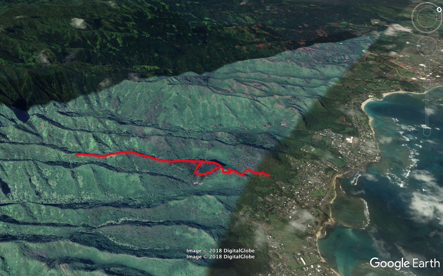
Here's a sketch of the hike. It really is a walk in the woods for the most part. For those looking for extra, I highly recommend heading up the ridge for as long as you feel like to get some better views.
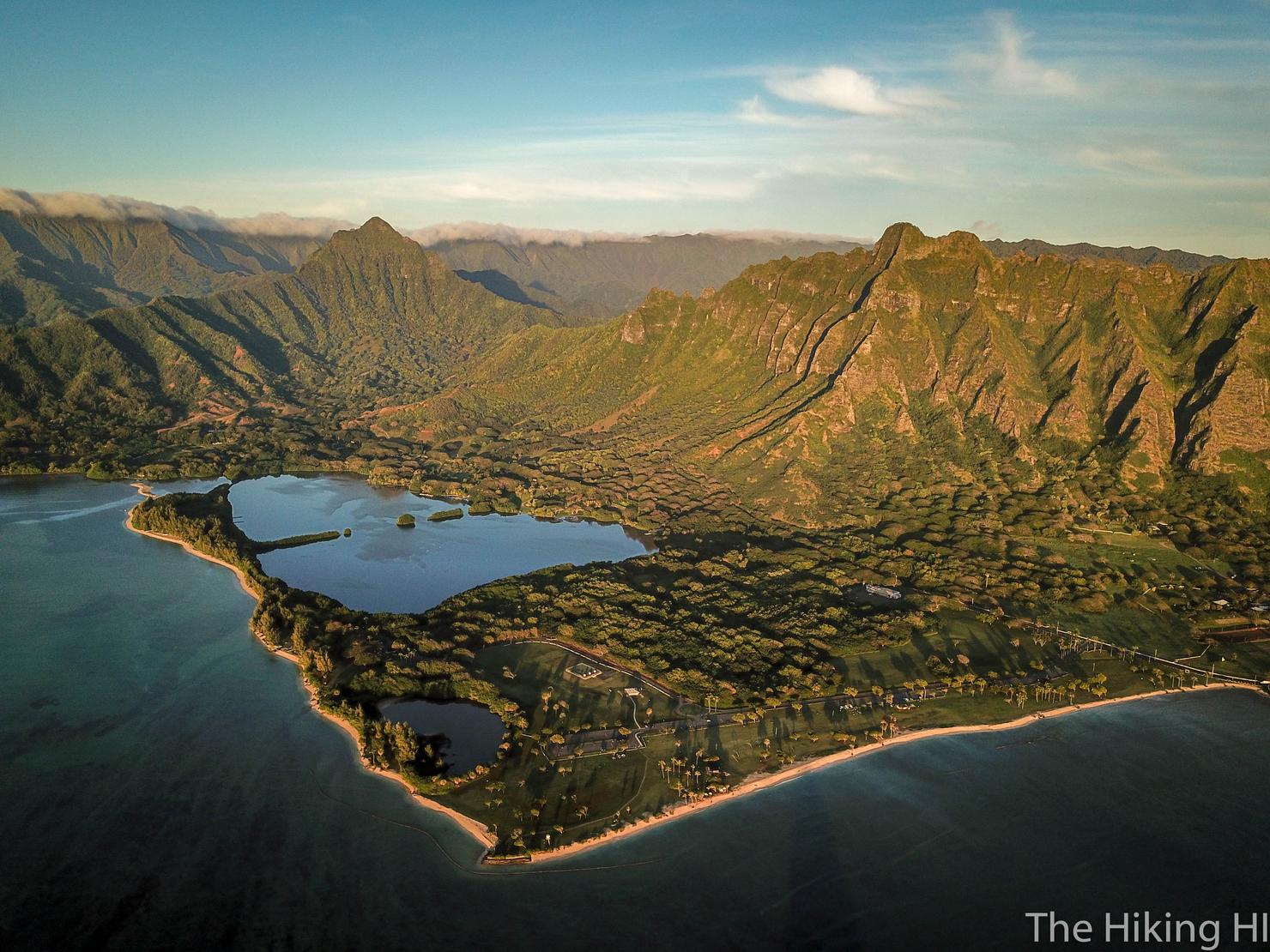
My day did not begin at Ma'akua Ridge. I decided to watch the sunrise off Kualoa Beach and fly my drone around Mokoli'i Island (AKA Chinaman's Hat). I'm really just taking this opportunity to show off one of my favorite drone photos ;). But seriously, that is an awesome spot for a sunrise and not nearly as popular as places like Lanikai Beach. I highly recommend it.
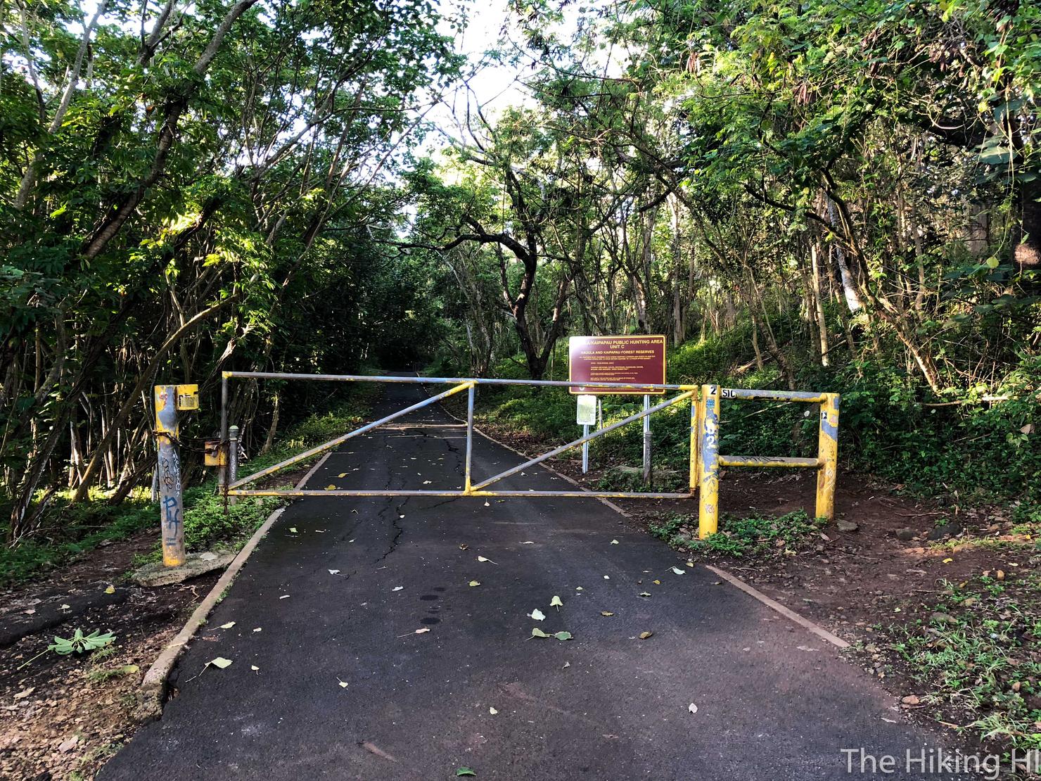
The hike is located off Hau'ula Homestead Road. You can get to the trailhead by following this road (Ma'akua Road). This is the same area that the Hau'ula-Waipilopilo loop is located, a hike I did a few months ago. You can park in the grass along Hau'ula Homestead Road.

Follow the road for a few minutes and you will come to this nicely graffitied wall. Still holiday themed I suppose.
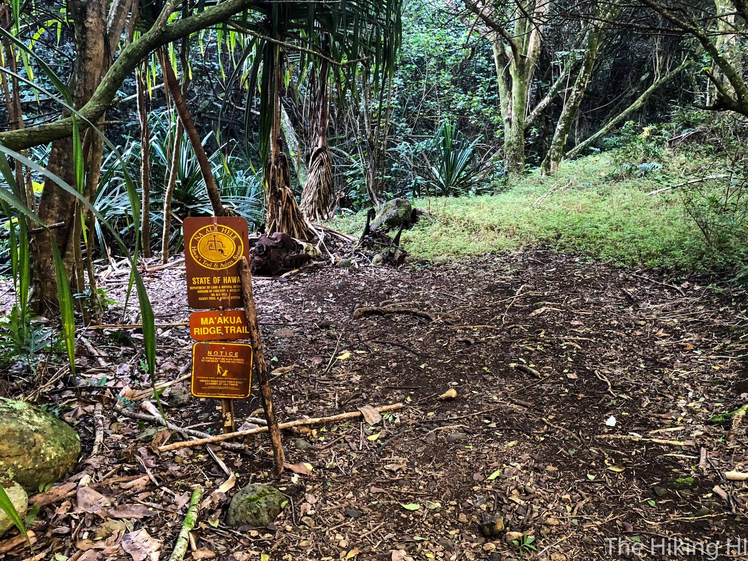
On the left side of the road by the wall, you will see an opening in the trees and the trailhead sign. Let's hike!
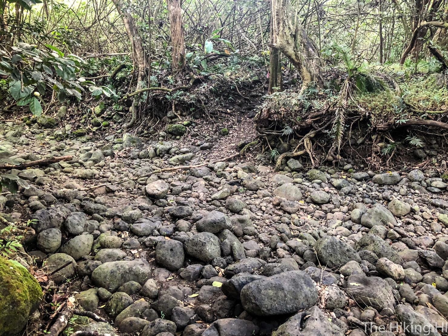
Almost immediately, you have to cross what seems to be a dry river bed. I have no clue if there ever is any water here, it has been pretty dry recently (at least since I've been back). But my day was about to get flooded with some unexpected excitement.
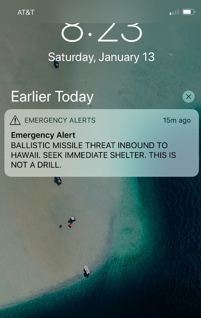
Because this is the notification I received on my phone. I think my heart skipped a beat as I did a double take to make sure I read that notification correctly. After my temporary "Oh Shit" moment, my rational brain kicked into gear. If this was real, 1 I would have gotten a call from work, 2 I would hear the island alert siren, and 3 I probably couldn't get to any decent shelter in time. So after that short internal debate, there was only one thing to do. I kept hiking.
Most people know the end to this story. About 20 minutes later, a notification was sent out that it was indeed a false alarm. Many people I know on the island did think these might be their last moments. Many people even said the experience made them a little stronger, because it put things into perspective. I did not have the same emotional experience, but I'm glad there is a positive to a monumental screw up. The one thing I'll say is hey, at least I would have been hiking.
Ok, deep philosophical conversations aside, let's keep hiking. Before long, you will come to the first, and one of the clearest lookouts of Hau'ula. It doesn't take long to get here, but if you are tired, there is a nice little bench to chill on.
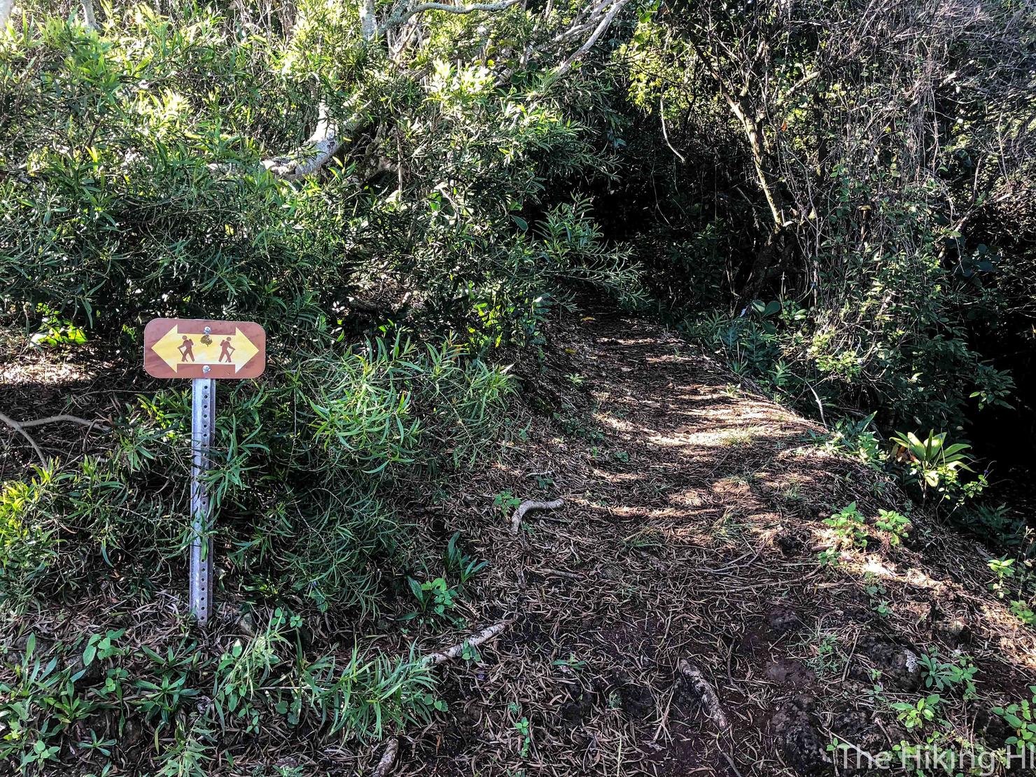
If you turn around, you will see a fork with three paths. The right most fork will actually connect back to the trail you just ascended. The center path is the most direct path to the upper ridge. The left fork, which I took, will lead you down a bit into the valley before looping back around.
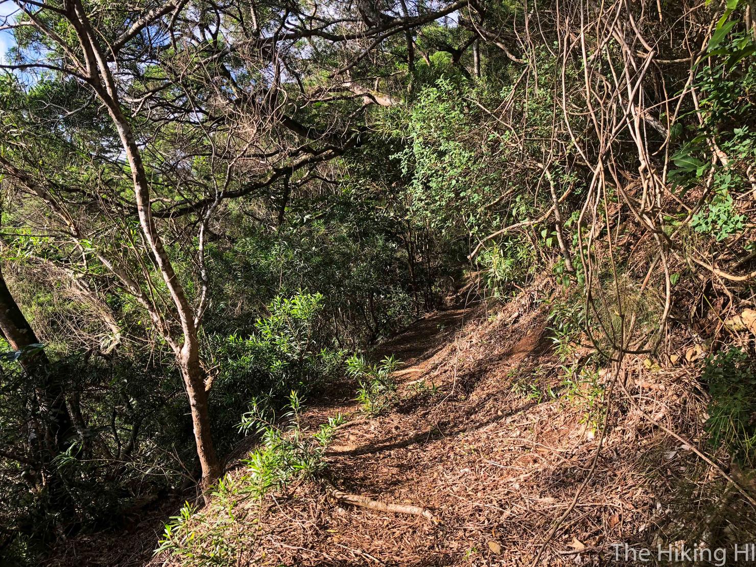
Nothing crazy to this hike, just a contour trail that snakes around the valley.
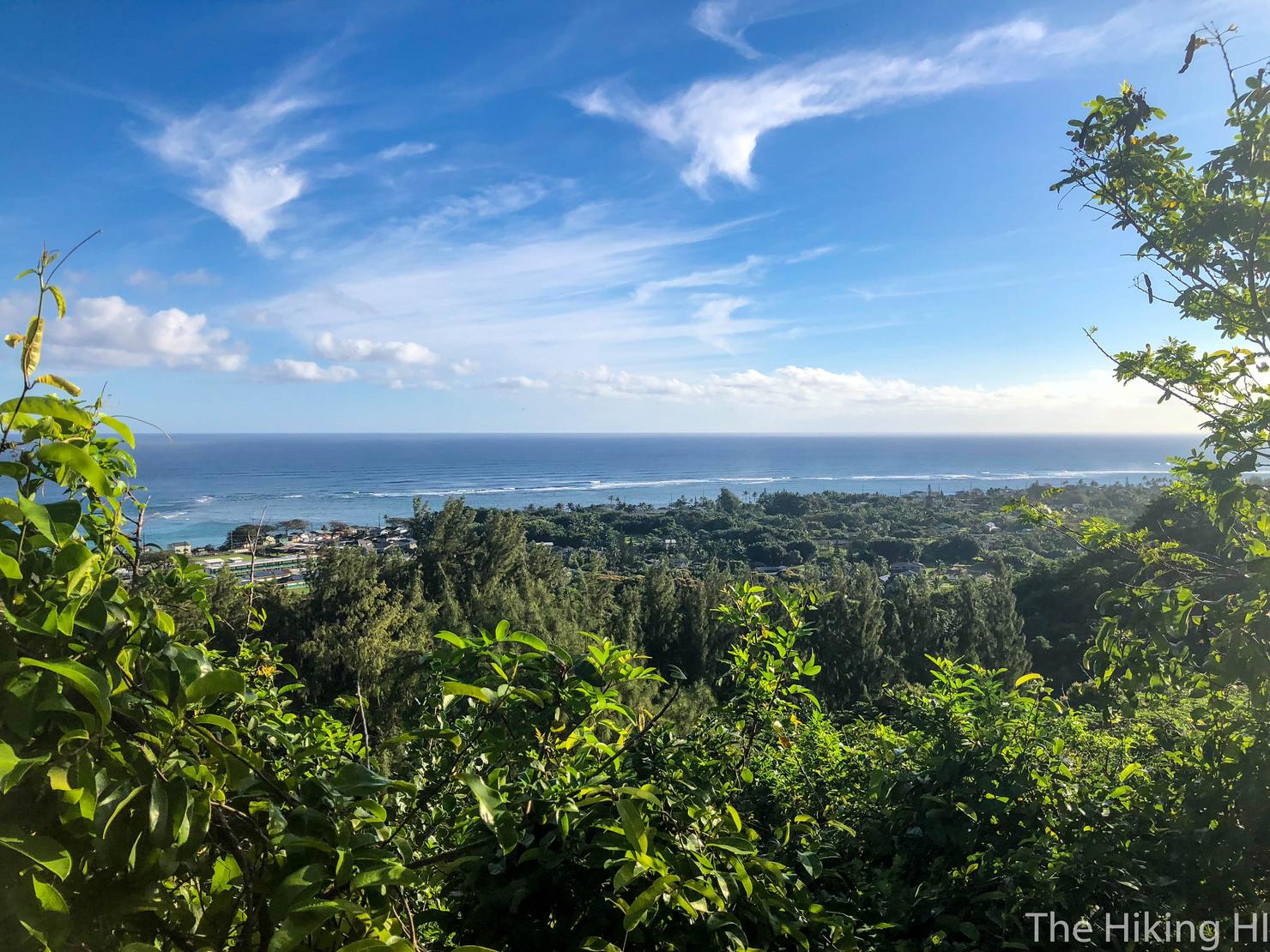
Keep your eyes open, because you there's plenty of openings that give you more views of the coast and valley.
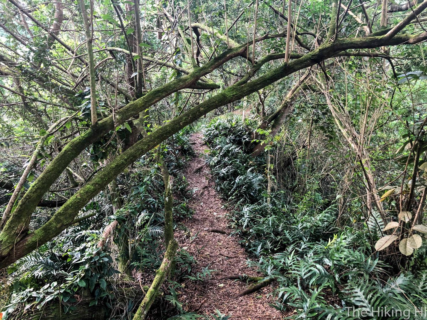
Another reason to keep your eyes open, so you don't whack your head! There were quite a few trees you had to duck under on the trail.
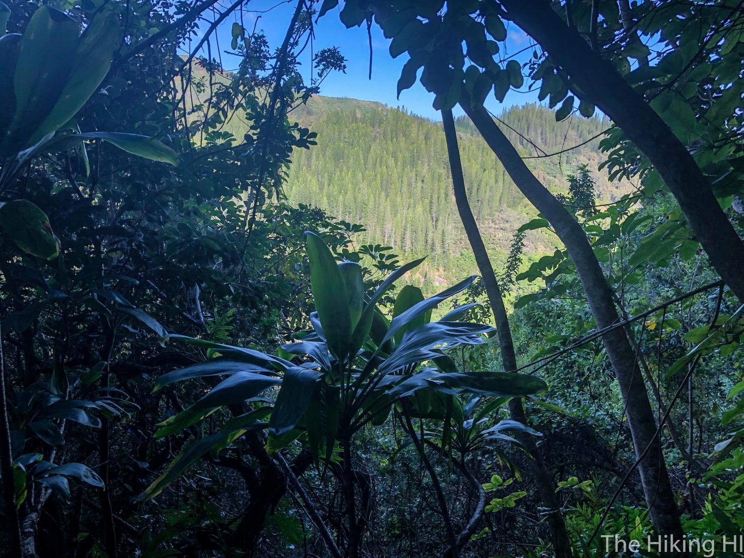
Here's a shot looking North to the adjacent Waipilopilo Ridge. Those trees remind me of Christmas trees.
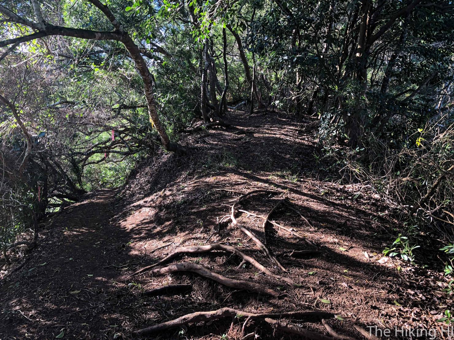
Here's the fork that leads to the upper portion of the ridge. If you went left at the initial fork, you will pop out on this left trail. Take the right one to get to the upper ridge.
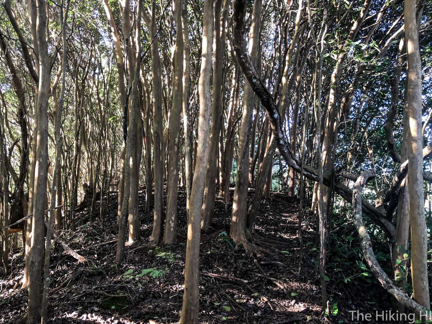
If you decide to go up to the ridge, the trail definitely gets tougher in difficulty. It's steeper and the trail gets narrow(ish) at times. It is a ridge hike after all.
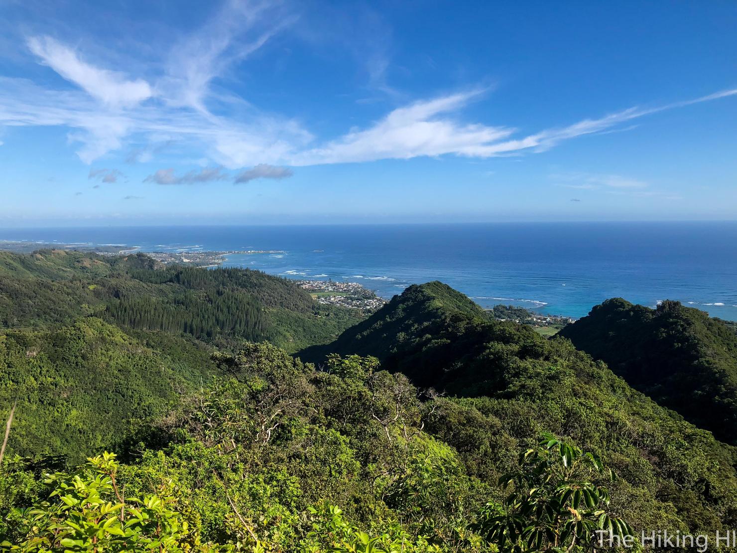
But the views up on the ridge are totally worth it. You can go as far up the ridge as you desire and the views get more and more expansive. Today this served as my turnaround point. There's never a dull day in Hawaii, but a fake missile strike definitely upped the excitement level. It helps put things in perspective for sure. But one thing it doesn't change is that we are still lucky to live in Hawaii.
